Transport Functions
Road
Multimodal
Hub Profile
Place type
Populated place
Region
Wisconsin
Population
4,419
Time zone
America/Chicago
Elevation
205 m
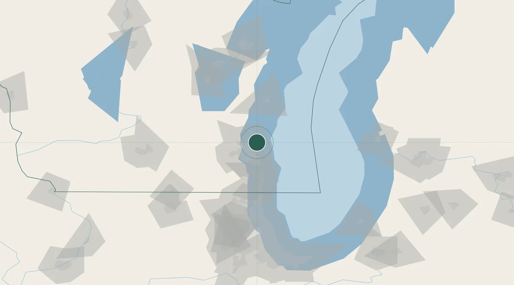
Location
Nearby Logistics Neighbours
Cities
- 1Fox Point2 km
- 2Thiensville8 km
- 3West Allis21 km
- 4Saukville23 km
- 5Richfield25 km
Ports
- 1Milwaukee17 km
- 2Port Washington22 km
- 3Racine51 km
- 4Sheboygan65 km
- 5Kenosha67 km
Airports
Trade Zones
- 1FTZ No. 041 Milwaukee23 km
- 2FTZ No. 019 Omaha93 km
- 3FTZ No. 292 Lake County96 km
- 4FTZ No. 189 Kent Ottawa/Muskegon Counties129 km
- 5FTZ No. 167 Brown County146 km
DatabookThe Record of Consolidated Knowledge
United States beyond logistics?