Channel & Berth Profile
Pilotage, Tugs & Services
Pilotage compulsoryYES
Tug assistanceYES
Potable waterYES
Diesel bunkersYES
MedicalYES
Facilities & Capabilities
Container—
Ro-Ro—
Liquid bulk—
Dry bulk—
Oil terminal—
Break bulk—
Dry dock—
RepairsNO
BunkeringYES
Rail linkYES
Dangerous cargo—
ISPS security—
Harbour Specifications
Harbour size
Very Small
Harbour type
Coastal (Breakwater)
Shelter
Good
Water body
Lake Michigan; Great Lakes
Overhead limit
Yes
Pilotage
Yes
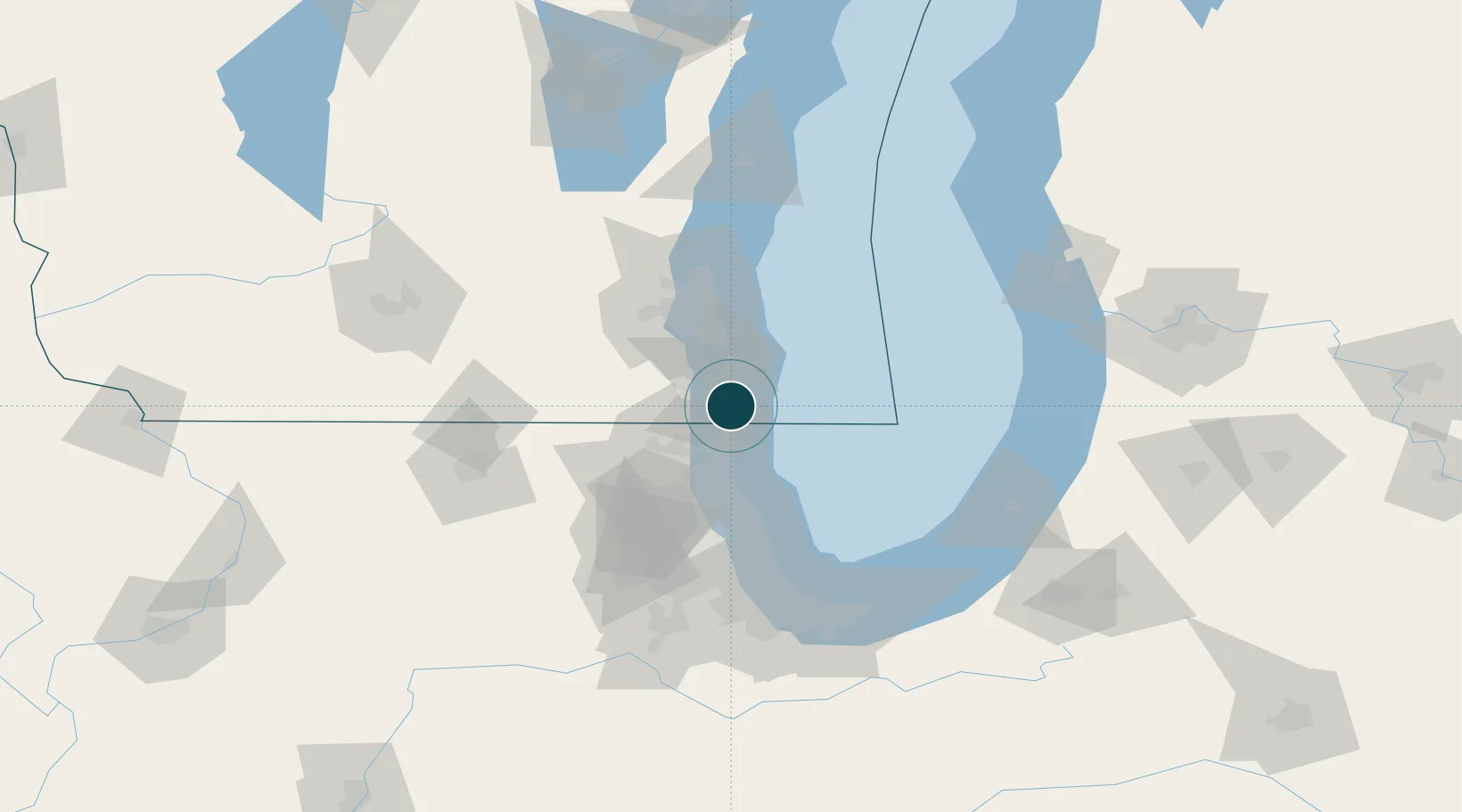
Location
Nearby Logistics Neighbours
Ports
- 1Racine17 km
- 2Waukegan24 km
- 3Great Lakes32 km
- 4Milwaukee50 km
- 5Wilmette57 km
Cities
- 1Pleasant Prairie10 km
- 2Russell13 km
- 3Lindenhurst25 km
- 4Antioch25 km
- 5Caledonia25 km
Airports
Trade Zones
- 1FTZ No. 292 Lake County30 km
- 2FTZ No. 041 Milwaukee58 km
- 3FTZ No. 022 Chicago84 km
- 4FTZ No. 019 Omaha118 km
- 5FTZ No. 152 Burns Harbor120 km
DatabookThe Record of Consolidated Knowledge
United States beyond logistics?