Large airport · United States
Chicago O'Hare International AirportKORD
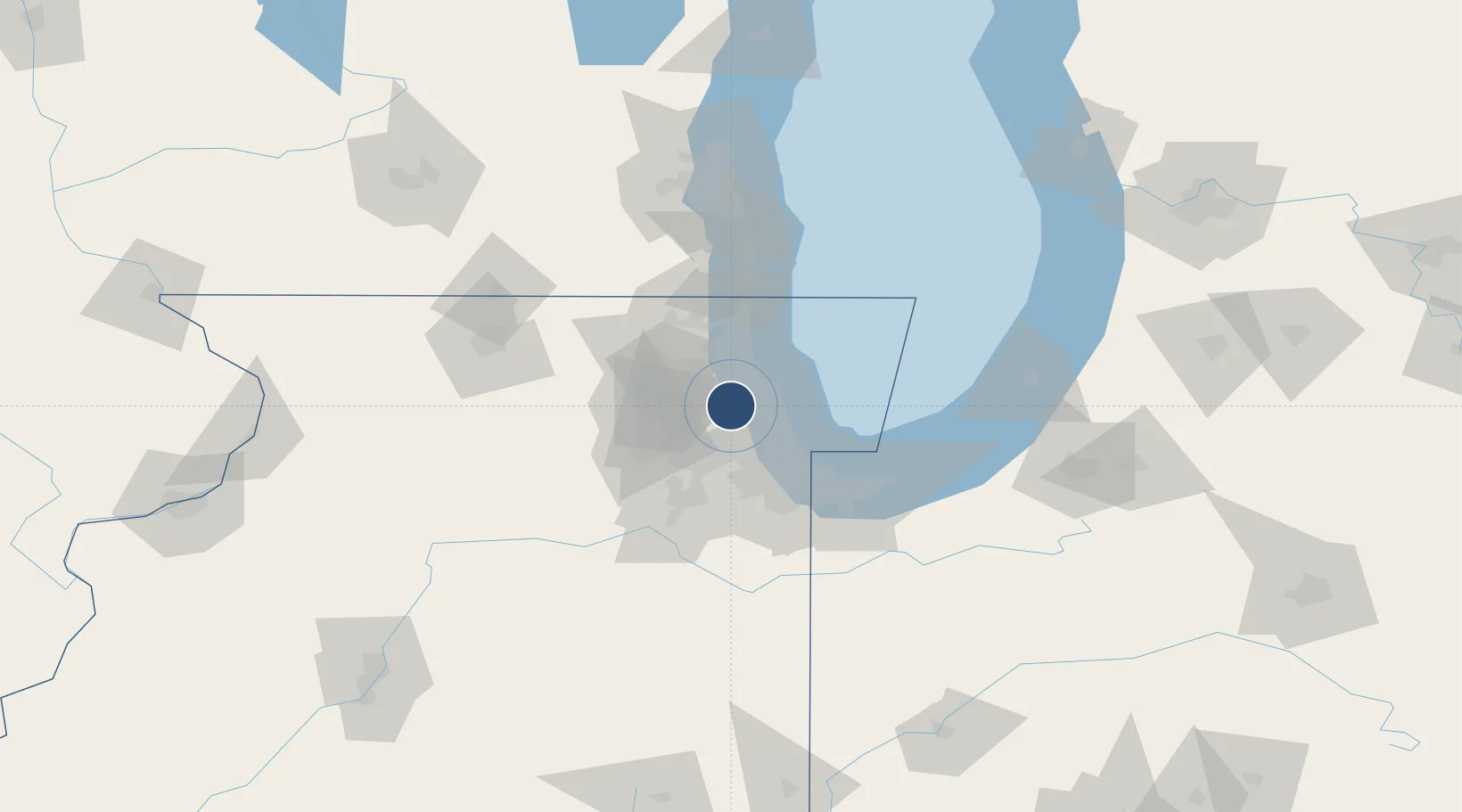
41.9786°, -87.9048°
13,000 ft
Longest runway
8
Runways
680 ft
Elevation
Runway & Layout

Radio Frequencies
ATIS
135.4 MHz
ASOS
135.4 MHz
TWR
126.9 MHz
GND
121.675 MHz
CLD
121.6 MHz
CLNC DEL
APP
119 MHz
DEP
125 MHz
PTD
126.2 MHz
UNIC
122.95 MHz
UNICOM
Navaids
GCO DME Chicago O'Hare 108.25 MHz
IA NDB Taffs 414 kHz
ID NDB Inddy 385 kHz
ME NDB Deana 350 kHz
OH NDB Leama 368 kHz
OR NDB Chstr 394 kHz
Runways · 8
| Runway | Dimensions | Surface | True heading | Lit |
|---|---|---|---|---|
| 10L/28R | 13,000 × 150ft | Concrete | 090° | ✓ |
| 09R/27L | 11,260 × 150ft | Asphalt | 090° | ✓ |
| 09C/27C | 11,245 × 200ft | concrete | 090° | ✓ |
| 10C/28C | 10,800 × 200ft | Concrete | 090° | ✓ |
| 04R/22L | 8,075 × 150ft | Asphalt | 042° | ✓ |
| 04L/22R | 7,500 × 150ft | Asphalt | 039° | ✓ |
| 09L/27R | 7,500 × 150ft | Asphalt | 090° | ✓ |
| 10R/28L | 7,500 × 150ft | CONCRETE | 090° | ✓ |
Airport Specifications
IATA code
ORD
ICAO code
KORD
Airport class
Large airport
Scheduled service
Yes
Runway surface
Concrete
Served city
Chicago
Location
Nearby Logistics Neighbours
Airports
Cities
- 1Park Ridge7 km
- 2Norridge8 km
- 3Harwood Heights9 km
- 4River Grove9 km
- 5Itasca10 km
Ports
- 1Wilmette22 km
- 2Chicago27 km
- 3Great Lakes36 km
- 4Calumet Harbor42 km
- 5Waukegan44 km
Trade Zones
- 1FTZ No. 022 Chicago16 km
- 2FTZ No. 292 Lake County38 km
- 3FTZ No. 152 Burns Harbor73 km
- 4FTZ No. 176 Rockford112 km
- 5FTZ No. 041 Milwaukee121 km
DatabookThe Record of Consolidated Knowledge
United States beyond logistics?