UN/LOCODE hub · United States
USWEQ
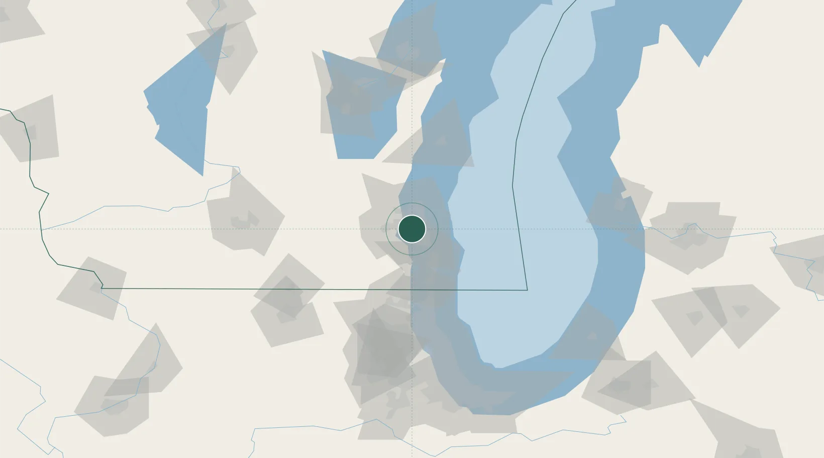
West Allis
43.0167°, -88.0000°
60,620
Population
3
Transport functions
Transport Functions
Port
Road
Multimodal
Hub Profile
Place type
Populated place
Region
Wisconsin
Population
60,620
Time zone
America/Chicago
Elevation
222 m
Location
Nearby Logistics Neighbours
Cities
- 1Milwaukee14 km
- 2Muskego17 km
- 3South Milwaukee18 km
- 4Fox Point19 km
- 5Bayside21 km
Ports
- 1Milwaukee10 km
- 2Racine36 km
- 3Port Washington42 km
- 4Kenosha51 km
- 5Waukegan74 km
Airports
Trade Zones
- 1FTZ No. 041 Milwaukee10 km
- 2FTZ No. 292 Lake County78 km
- 3FTZ No. 019 Omaha106 km
- 4FTZ No. 176 Rockford130 km
- 5FTZ No. 022 Chicago132 km
DatabookThe Record of Consolidated Knowledge
United States beyond logistics?