UN/LOCODE hub · United States
USTSV
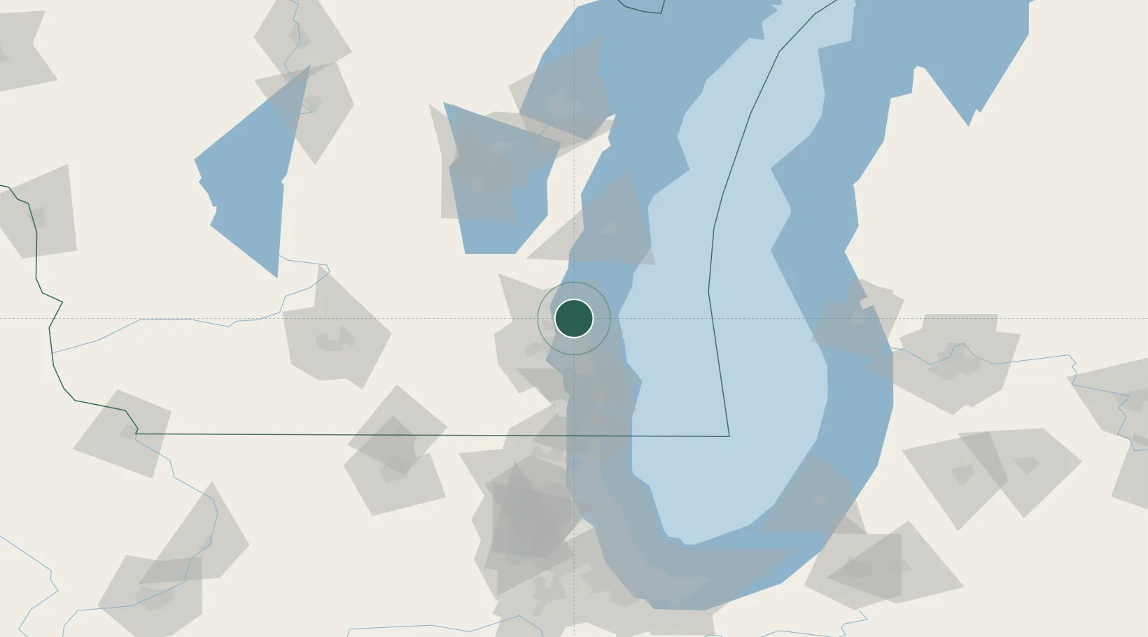
Thiensville
43.2167°, -87.9667°
3,174
Population
3
Transport functions
Transport Functions
Rail
Road
Multimodal
Hub Profile
Place type
Populated place
Region
Wisconsin
Population
3,174
Time zone
America/Chicago
Elevation
206 m
Location
Nearby Logistics Neighbours
Ports
- 1Port Washington20 km
- 2Milwaukee22 km
- 3Racine56 km
- 4Sheboygan63 km
- 5Kenosha72 km
Airports
Trade Zones
- 1FTZ No. 041 Milwaukee21 km
- 2FTZ No. 019 Omaha99 km
- 3FTZ No. 292 Lake County100 km
- 4FTZ No. 189 Kent Ottawa/Muskegon Counties136 km
- 5FTZ No. 167 Brown County141 km
DatabookThe Record of Consolidated Knowledge
United States beyond logistics?