Foreign Trade Zone · United States

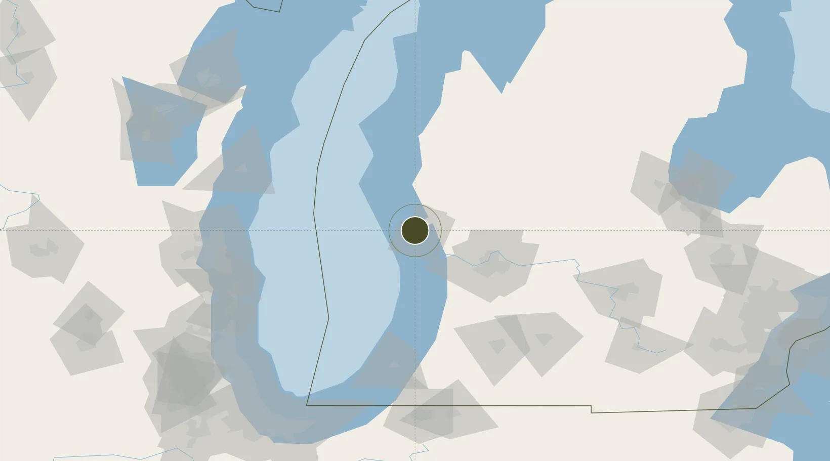
FTZ No. 189 Kent Ottawa/Muskegon Counties Active

43.2365°, -86.2915°
2.0 km
Nearest port
8.6 km
Nearest airport

Gateway access

Nearest neighbours — logibook spatial index (haversine) over the source coordinates

Zone profile

Zone type
Foreign Trade Zone
Open Zone Map
Region
Michigan
Open Zone Map
Status
Active
Open Zone Map
Management
Public-Private Partnership
Open Zone Map
Operator
KOM Foreign Trade Zone Authority
Open Zone Map
Legal framework
Foreign-Trade Zones Act
Open Zone Map

Location

Location of ozm-4882
Natural Earth 10m (public domain) · Michigan · ozm-4882 · 43.24, -86.29GoogleOSMYandex

Nearby Logistics Neighbours

Ports
  1. 1Muskegon2 km
  2. 2White Lake17 km
  3. 3Grand Haven20 km
  4. 4Holland52 km
  5. 5Ludington80 km
Nearest neighbours — logibook spatial index (haversine) over the source coordinates
Airports
  1. 1Muskegon County Airport9 km
  2. 2Gerald R. Ford International Airport74 km
  3. 3Manistee County Blacker Airport115 km
  4. 4Kalamazoo/Battle Creek International Airport127 km
  5. 5Battle Creek Executive Airport at Kellogg Field134 km
Nearest neighbours — logibook spatial index (haversine) over the source coordinates
Cities
  1. 1Muskegon5 km
  2. 2Norton Shores10 km
  3. 3Twin Lake17 km
  4. 4Spring Lake21 km
  5. 5Rothbury30 km
Nearest neighbours — logibook spatial index (haversine) over the source coordinates
Trade Zones
  1. 1FTZ No. 019 Omaha38 km
  2. 2FTZ No. 043 Battle Creek130 km
  3. 3FTZ No. 101 Clinton County130 km
  4. 4FTZ No. 041 Milwaukee149 km
  5. 5FTZ No. 292 Lake County165 km
Nearest neighbours — logibook spatial index (haversine) over the source coordinates
DatabookThe Record of Consolidated Knowledge
United States beyond logistics?
Browse databook

All Sources

Trade ZonesOpen Zone Map
CC BY
Portsthe NGA World Port Index
Public domain (US gov)
AirportsOurAirports
Public domain
LocationsUN/LOCODE
UN/LOCODE — free
← United States trade zones