Medium airport · United States
Kenosha Regional AirportKENW
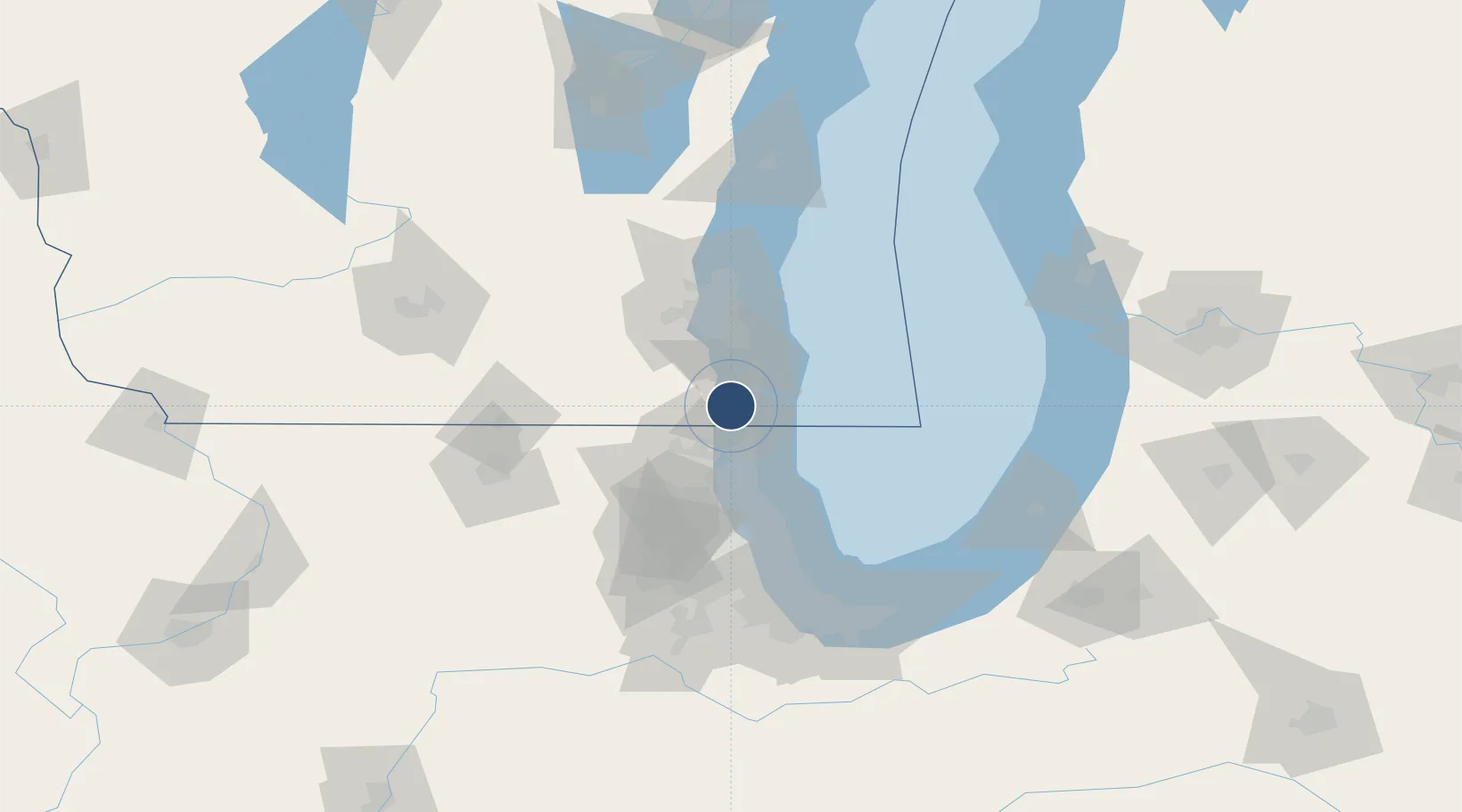
42.5957°, -87.9278°
6,600 ft
Longest runway
3
Runways
742 ft
Elevation
Runway & Layout

Radio Frequencies
ATIS
127.175 MHz
ASOS
127.175 MHz
TWR
118.6 MHz
GND
121.875 MHz
CLD
118.6 MHz
CLNC DEL
CTAF
118.6 MHz
A/D
120.15 MHz
MILWAUKEE APP/DEP
RDO
109.2 MHz
GREEN BAY RDO
UNIC
122.95 MHz
UNICOM
Navaids
ENW VOR-DME Kenosha 109.20 MHz
Runways · 3
| Runway | Dimensions | Surface | True heading | Lit |
|---|---|---|---|---|
| 07L/25R | 6,600 × 100ft | CONC-G | 064° | ✓ |
| 15/33 | 4,440 × 100ft | CONC-G | 144° | ✓ |
| 07R/25L | 3,302 × 75ft | ASPH-CONC-F | 064° | ✓ |
Airport Specifications
IATA code
ENW
ICAO code
KENW
Airport class
Medium airport
Scheduled service
No
Runway surface
CONC-G
Served city
Kenosha
Location
Nearby Logistics Neighbours
Airports
Cities
- 1Pleasant Prairie5 km
- 2Russell13 km
- 3Kansasville18 km
- 4Antioch19 km
- 5Lindenhurst23 km
Ports
- 1Kenosha9 km
- 2Racine19 km
- 3Waukegan27 km
- 4Great Lakes34 km
- 5Milwaukee49 km
Trade Zones
- 1FTZ No. 292 Lake County31 km
- 2FTZ No. 041 Milwaukee53 km
- 3FTZ No. 022 Chicago85 km
- 4FTZ No. 176 Rockford112 km
- 5FTZ No. 019 Omaha124 km
DatabookThe Record of Consolidated Knowledge
United States beyond logistics?