Large airport · United States
General Mitchell International AirportKMKE
42.9472°, -87.8966°
9,990 ft
Longest runway
5
Runways
723 ft
Elevation
Runway & Layout

Radio Frequencies
ATIS
126.4 MHz
AWOS
148.35 MHz
TWR
119.1 MHz
MILWAUKEE TWR
GND
121.8 MHz
MILWAUKEE GND
CLD
120.8 MHz
MILWAUKEE CLNC DEL
APP
118 MHz
MILWAUKEE APP
DEP
119.65 MHz
MILWAUKEE DEP
MISC
32.1 MHz
128ARW ANG COMD POST
OPS
31.42 MHz
440 BASE OPS
POST
37.61 MHz
440 AW COMD POST
PTD
37.61 MHz
RDO
122.4 MHz
GREEN BAY RDO
UNIC
122.95 MHz
UNICOM
Navaids
BL NDB Yanks 260 kHz
GM NDB Teels 242 kHz
MK NDB Cappy 410 kHz
Runways · 5
| Runway | Dimensions | Surface | True heading | Lit |
|---|---|---|---|---|
| 01L/19R | 9,990 × 200ft | Asphalt / concrete | 007° | ✓ |
| 07R/25L | 8,300 × 150ft | Asphalt / concrete | 072° | ✓ |
| 13/31 | 5,537 × 150ft | Asphalt | 132° | ✓ |
| 07L/25R | 4,797 × 100ft | Asphalt | 071° | ✓ |
| 01R/19L | 4,182 × 150ft | Asphalt | 007° | ✓ |
Airport Specifications
IATA code
MKE
ICAO code
KMKE
Airport class
Large airport
Scheduled service
Yes
Runway surface
Asphalt / concrete
Served city
Milwaukee
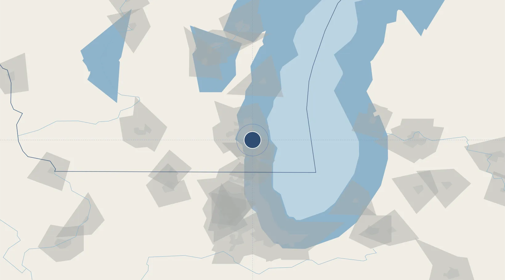
Location
Nearby Logistics Neighbours
Airports
- 1Kenosha Regional Airport39 km
- 2Chicago Executive Airport93 km
- 3Chicago O'Hare International Airport108 km
- 4Dane County Regional Truax Field119 km
- 5Dupage Airport119 km
Cities
- 1Milwaukee4 km
- 2South Milwaukee7 km
- 3West Allis11 km
- 4Caledonia16 km
- 5Raymond19 km
Ports
- 1Milwaukee10 km
- 2Racine26 km
- 3Kenosha41 km
- 4Port Washington49 km
- 5Waukegan65 km
Trade Zones
- 1FTZ No. 041 Milwaukee21 km
- 2FTZ No. 292 Lake County70 km
- 3FTZ No. 019 Omaha101 km
- 4FTZ No. 022 Chicago124 km
- 5FTZ No. 176 Rockford132 km
DatabookThe Record of Consolidated Knowledge
United States beyond logistics?