Channel & Berth Profile
Pilotage, Tugs & Services
Pilotage compulsoryYES
Tug assistanceYES
Potable waterYES
Diesel bunkersYES
MedicalYES
Facilities & Capabilities
Container—
Ro-Ro—
Liquid bulk—
Dry bulk—
Oil terminal—
Break bulk—
Dry dock—
RepairsNO
BunkeringYES
Rail link—
Dangerous cargo—
ISPS security—
Harbour Specifications
Harbour size
Small
Harbour type
Coastal (Breakwater)
Shelter
Good
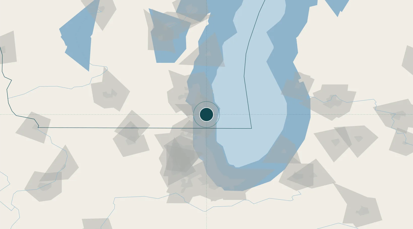
Water body
Lake Michigan; Great Lakes
Overhead limit
Yes
Pilotage
Yes
Location
Nearby Logistics Neighbours
Ports
- 1Kenosha17 km
- 2Milwaukee34 km
- 3Waukegan41 km
- 4Great Lakes48 km
- 5Port Washington73 km
Cities
- 1Caledonia13 km
- 2South Milwaukee19 km
- 3Raymond20 km
- 4Milwaukee23 km
- 5Pleasant Prairie24 km
Airports
Trade Zones
- 1FTZ No. 041 Milwaukee45 km
- 2FTZ No. 292 Lake County47 km
- 3FTZ No. 022 Chicago100 km
- 4FTZ No. 019 Omaha105 km
- 5FTZ No. 176 Rockford129 km
DatabookThe Record of Consolidated Knowledge
United States beyond logistics?