Foreign Trade Zone · United States

FTZ No. 022 Chicago Active
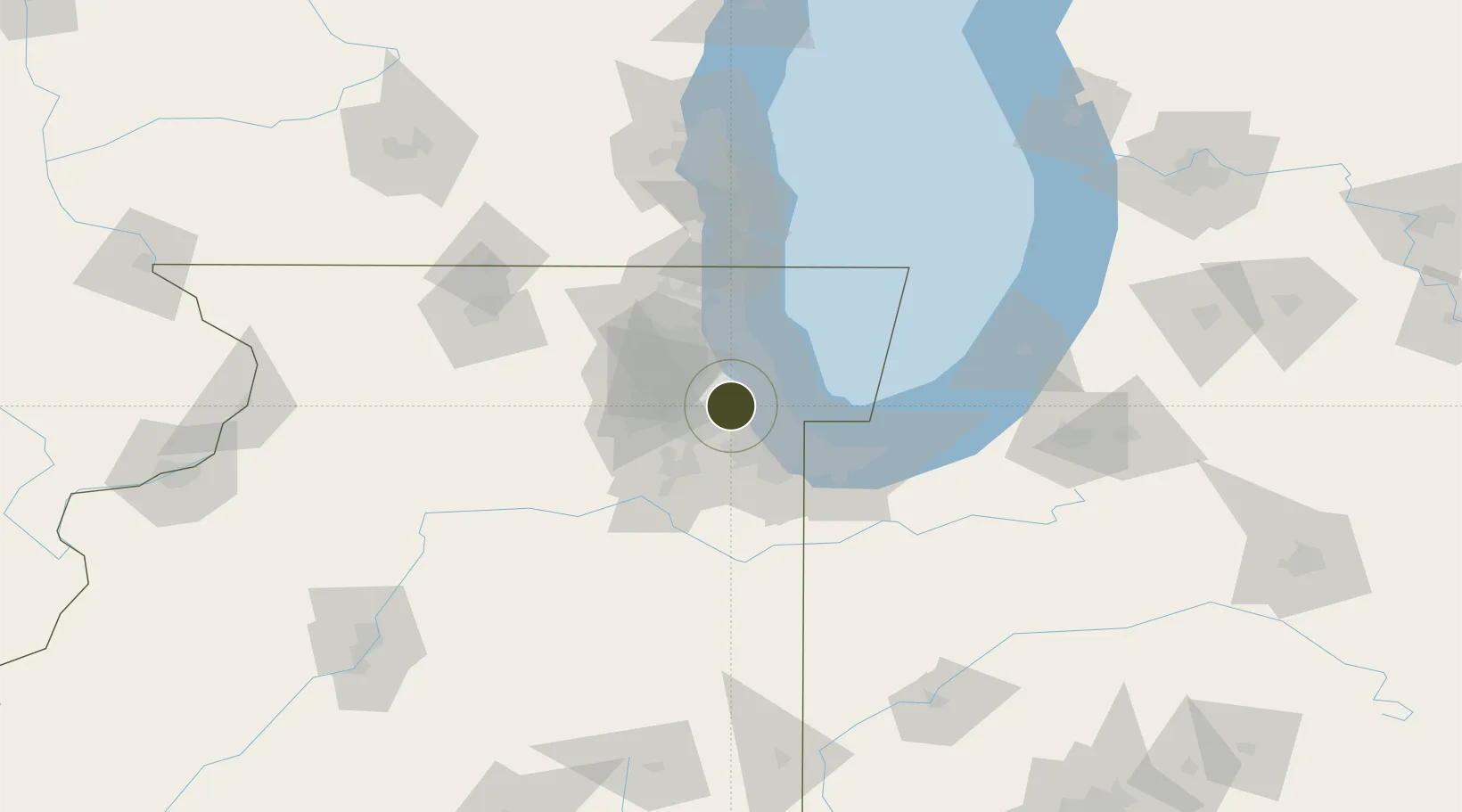
41.8336°, -87.8720°
23.2 km
Nearest port
11.2 km
Nearest airport

Gateway access

Nearest neighbours — logibook spatial index (haversine) over the source coordinates

Zone profile

Zone type
Foreign Trade Zone
Open Zone Map
Region
Illinois
Open Zone Map
Status
Active
Open Zone Map
Management
Public-Private Partnership
Open Zone Map
Operator
Illinois International Port District
Open Zone Map
Legal framework
Foreign-Trade Zones Act
Open Zone Map

Location

Location of ozm-4909
Natural Earth 10m (public domain) · Illinois · ozm-4909 · 41.83, -87.87GoogleOSMYandex

Nearby Logistics Neighbours

Ports
  1. 1Chicago23 km
  2. 2Calumet Harbor32 km
  3. 3Wilmette32 km
  4. 4Indiana Harbor41 km
  5. 5Gary51 km
Nearest neighbours — logibook spatial index (haversine) over the source coordinates
Airports
  1. 1Chicago Midway International Airport11 km
  2. 2Chicago O'Hare International Airport16 km
  3. 3Chicago Executive Airport31 km
  4. 4Dupage Airport32 km
  5. 5Gary/Chicago International Airport45 km
Nearest neighbours — logibook spatial index (haversine) over the source coordinates
Cities
  1. 1La Grange Park0 km
  2. 2Westchester1 km
  3. 3Brookfield3 km
  4. 4Western Springs4 km
  5. 5North Riverside5 km
Nearest neighbours — logibook spatial index (haversine) over the source coordinates
Trade Zones
  1. 1FTZ No. 292 Lake County54 km
  2. 2FTZ No. 152 Burns Harbor64 km
  3. 3FTZ No. 176 Rockford120 km
  4. 4FTZ No. 125 South Bend128 km
  5. 5FTZ No. 041 Milwaukee138 km
Nearest neighbours — logibook spatial index (haversine) over the source coordinates
DatabookThe Record of Consolidated Knowledge
United States beyond logistics?
Browse databook

All Sources

Trade ZonesOpen Zone Map
CC BY
Portsthe NGA World Port Index
Public domain (US gov)
AirportsOurAirports
Public domain
LocationsUN/LOCODE
UN/LOCODE — free
← United States trade zones