UN/LOCODE hub · United States
USFXP
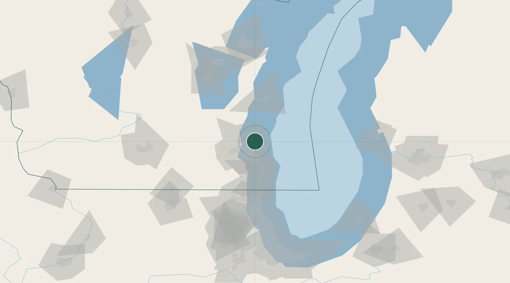
Fox Point
43.1667°, -87.9000°
6,755
Population
2
Transport functions
Transport Functions
Rail
Road
Hub Profile
Place type
Populated place
Region
Wisconsin
Population
6,755
Time zone
America/Chicago
Elevation
210 m
Location
Nearby Logistics Neighbours
Cities
- 1Bayside2 km
- 2Thiensville8 km
- 3West Allis19 km
- 4Saukville24 km
- 5Richfield25 km
Ports
- 1Milwaukee15 km
- 2Port Washington24 km
- 3Racine49 km
- 4Kenosha65 km
- 5Sheboygan67 km
Airports
Trade Zones
- 1FTZ No. 041 Milwaukee21 km
- 2FTZ No. 292 Lake County94 km
- 3FTZ No. 019 Omaha94 km
- 4FTZ No. 189 Kent Ottawa/Muskegon Counties131 km
- 5FTZ No. 266 Dane County147 km
DatabookThe Record of Consolidated Knowledge
United States beyond logistics?