Channel & Berth Profile
Pilotage, Tugs & Services
Pilotage compulsoryYES
Pilotage advisableYES
Tug assistanceYES
Salvage tugsYES
Potable waterYES
Diesel bunkersYES
MedicalYES
Garbage disposalYES
Facilities & Capabilities
Container—
Ro-Ro—
Liquid bulk—
Dry bulk—
Oil terminal—
Break bulk—
Dry dock—
Repairs—
BunkeringYES
Rail linkYES
Dangerous cargo—
ISPS security—
Harbour Specifications
Harbour size
Very Small
Harbour type
Coastal (Natural)
Shelter
Good
Water body
Gulf of Mexico; North Atlantic Ocean
Tidal range
0.3 m
Overhead limit
Yes
Pilotage
Yes
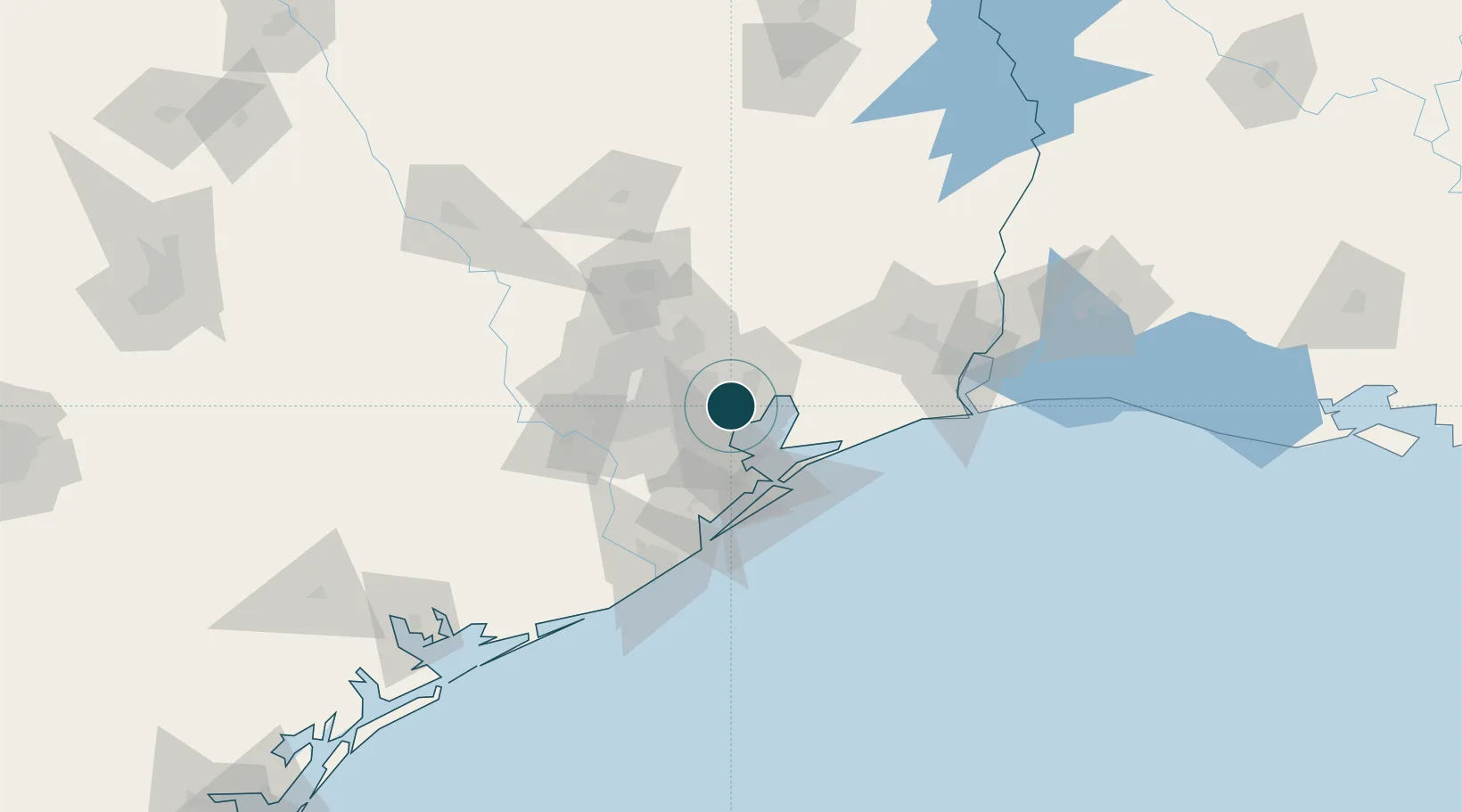
Location
Nearby Logistics Neighbours
Ports
- 1Pasadena19 km
- 2Houston26 km
- 3Deer Park31 km
- 4Texas City40 km
- 5Galveston52 km
Cities
- 1Highlands8 km
- 2Pasadena13 km
- 3Mont Belvieu19 km
- 4Jacinto City21 km
- 5Kemah22 km
Airports
Trade Zones
- 1FTZ No. 084 Harris County29 km
- 2FTZ No. 199 Texas City39 km
- 3FTZ No. 171 Liberty County51 km
- 4FTZ No. 036 Galveston52 km
- 5FTZ No. 115 Beaumont88 km
DatabookThe Record of Consolidated Knowledge
United States beyond logistics?