UN/LOCODE hub · United States
USMTG
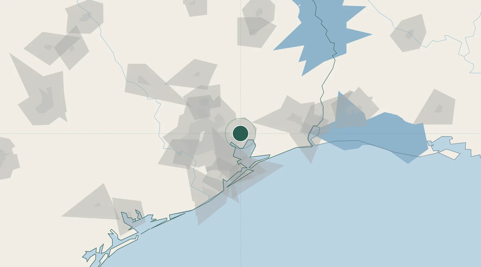
Mont Belvieu
29.8749°, -94.9161°
5,193
Population
2
Transport functions
Transport Functions
Rail
Road
Hub Profile
Place type
Populated place
Region
Texas
Population
5,193
Time zone
America/Chicago
Elevation
21 m
Logistics facilities
1
Location
Nearby Logistics Neighbours
Cities
- 1Baytown15 km
- 2Highlands15 km
- 3Atascocita27 km
- 4Huffman29 km
- 5Raywood30 km
Ports
- 1Baytown19 km
- 2Pasadena34 km
- 3Houston38 km
- 4Deer Park43 km
- 5Texas City55 km
Airports
Trade Zones
- 1FTZ No. 084 Harris County38 km
- 2FTZ No. 171 Liberty County39 km
- 3FTZ No. 199 Texas City54 km
- 4FTZ No. 036 Galveston64 km
- 5FTZ No. 115 Beaumont73 km
DatabookThe Record of Consolidated Knowledge
United States beyond logistics?