UN/LOCODE hub · United States
USJCX
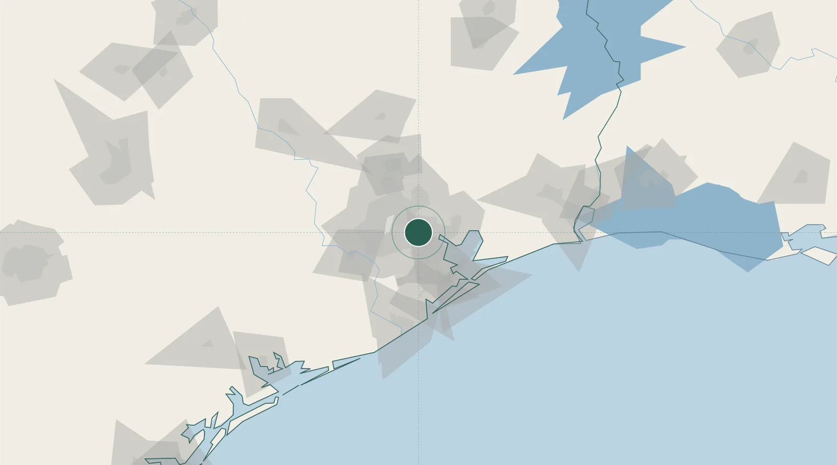
Jacinto City
29.7667°, -95.2333°
10,782
Population
2
Transport functions
Transport Functions
Port
Road
Hub Profile
Place type
Urban district
Region
Texas
Population
10,782
Time zone
America/Chicago
Elevation
9 m
Location
Nearby Logistics Neighbours
Cities
- 1Houston1 km
- 2Englewood Yard7 km
- 3South Houston13 km
- 4Pasadena16 km
- 5Highlands18 km
Ports
- 1Houston5 km
- 2Pasadena6 km
- 3Deer Park10 km
- 4Baytown21 km
- 5Texas City53 km
Airports
Trade Zones
- 1FTZ No. 084 Harris County8 km
- 2FTZ No. 171 Liberty County49 km
- 3FTZ No. 199 Texas City51 km
- 4FTZ No. 036 Galveston66 km
- 5FTZ No. 149 Freeport94 km
DatabookThe Record of Consolidated Knowledge
United States beyond logistics?