Medium airport · United States
Scholes International At Galveston AirportKGLS
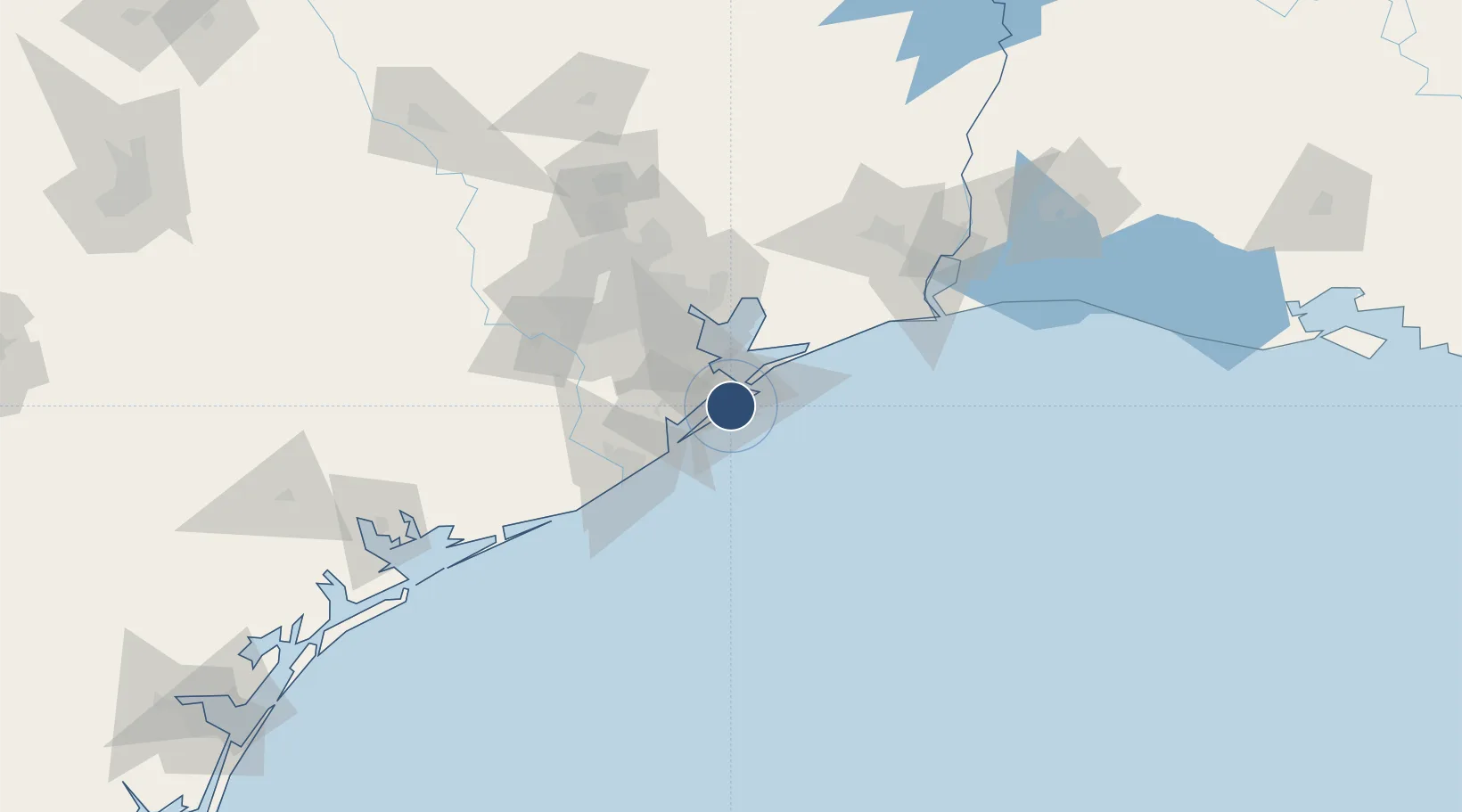
29.2653°, -94.8604°
6,001 ft
Longest runway
2
Runways
6 ft
Elevation
Runway & Layout

Radio Frequencies
ASOS
119.275 MHz
TWR
120.575 MHz
GND
118.625 MHz
CLD
135.35 MHz
CLNC DEL
CTAF
120.575 MHz
A/D
134.45 MHz
HOUSTON APP/DEP
RDO
122.15 MHz
MONTGOMERY CO RDO
UNIC
123.05 MHz
UNICOM
Navaids
GLS NDB Galveston 206 kHz
MHF VOR-DME Trinity 113.60 MHz
VUH VORTAC Scholes 113.00 MHz
Runways · 2
| Runway | Dimensions | Surface | True heading | Lit |
|---|---|---|---|---|
| 18/36 | 6,001 × 150ft | Concrete | 181° | ✓ |
| 14/32 | 6,000 × 150ft | Asphalt / concrete | 140° | ✓ |
Airport Specifications
IATA code
GLS
ICAO code
KGLS
Airport class
Medium airport
Scheduled service
No
Runway surface
Concrete
Served city
Galveston
Location
Nearby Logistics Neighbours
Airports
Cities
- 1Port Bolivar16 km
- 2Texas City16 km
- 3Santa Fe26 km
- 4Kemah33 km
- 5League City34 km
Ports
- 1Galveston9 km
- 2Texas City14 km
- 3Baytown54 km
- 4Freeport58 km
- 5Pasadena61 km
Trade Zones
- 1FTZ No. 036 Galveston8 km
- 2FTZ No. 199 Texas City15 km
- 3FTZ No. 149 Freeport67 km
- 4FTZ No. 084 Harris County74 km
- 5FTZ No. 116 Port Arthur97 km
DatabookThe Record of Consolidated Knowledge
United States beyond logistics?