Channel & Berth Profile
Pilotage, Tugs & Services
Pilotage compulsoryYES
Pilotage availableYES
Pilotage advisableYES
Tug assistanceYES
Salvage tugsYES
Shore powerYES
Potable waterYES
Diesel bunkersYES
MedicalYES
Garbage disposalYES
Facilities & Capabilities
Container—
Ro-Ro—
Liquid bulk—
Dry bulk—
Oil terminal—
Break bulk—
Dry dock—
RepairsNO
BunkeringYES
Rail linkYES
Dangerous cargo—
ISPS security—
Harbour Specifications
Harbour size
Small
Harbour type
Coastal (Natural)
Shelter
Good
Water body
Gulf of Mexico; North Atlantic Ocean
Pilotage
Yes
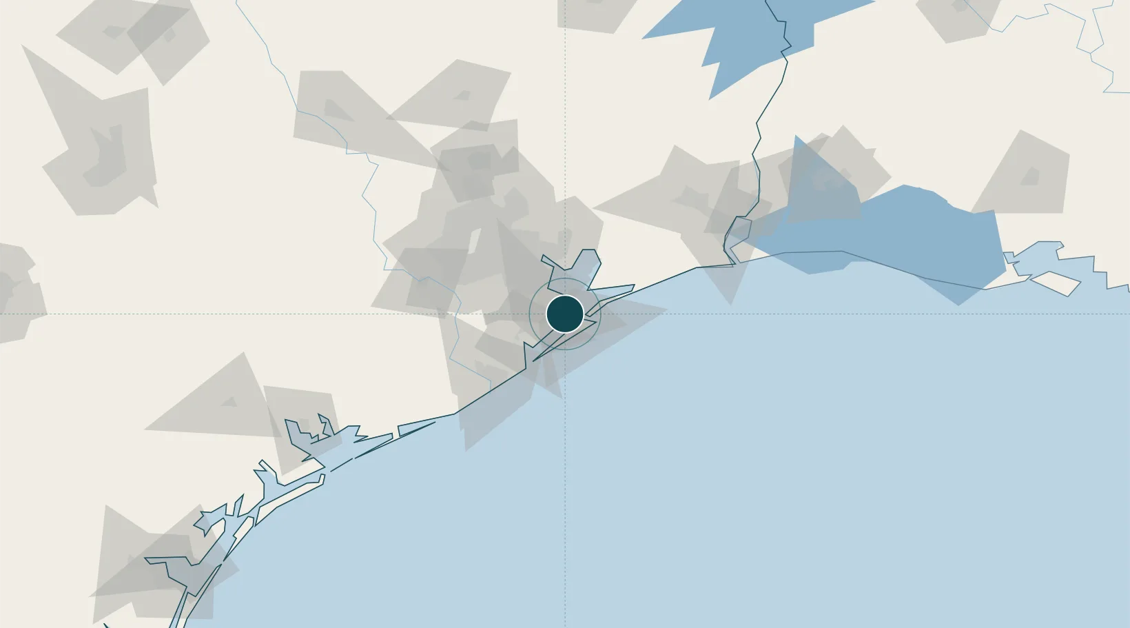
Location
Nearby Logistics Neighbours
Cities
- 1Port Bolivar16 km
- 2Santa Fe18 km
- 3Kemah19 km
- 4League City21 km
- 5Webster, Harris26 km
Airports
Trade Zones
- 1FTZ No. 199 Texas City1 km
- 2FTZ No. 036 Galveston14 km
- 3FTZ No. 084 Harris County60 km
- 4FTZ No. 149 Freeport71 km
- 5FTZ No. 171 Liberty County91 km
DatabookThe Record of Consolidated Knowledge
United States beyond logistics?