Foreign Trade Zone · United States

FTZ No. 171 Liberty County Active

30.1886°, -95.0843°
51.0 km
Nearest port
33.6 km
Nearest airport

Gateway access

Nearest neighbours — logibook spatial index (haversine) over the source coordinates

Zone profile

Zone type
Foreign Trade Zone
Open Zone Map
Region
Texas
Open Zone Map
Status
Active
Open Zone Map
Management
Public-Private Partnership
Open Zone Map
Operator
Liberty County Economic Development Corp. Foreign-Trade Zone 171
Open Zone Map
Legal framework
Foreign-Trade Zones Act
Open Zone Map

Location

Location of ozm-4911
Natural Earth 10m (public domain) · Texas · ozm-4911 · 30.19, -95.08GoogleOSMYandex

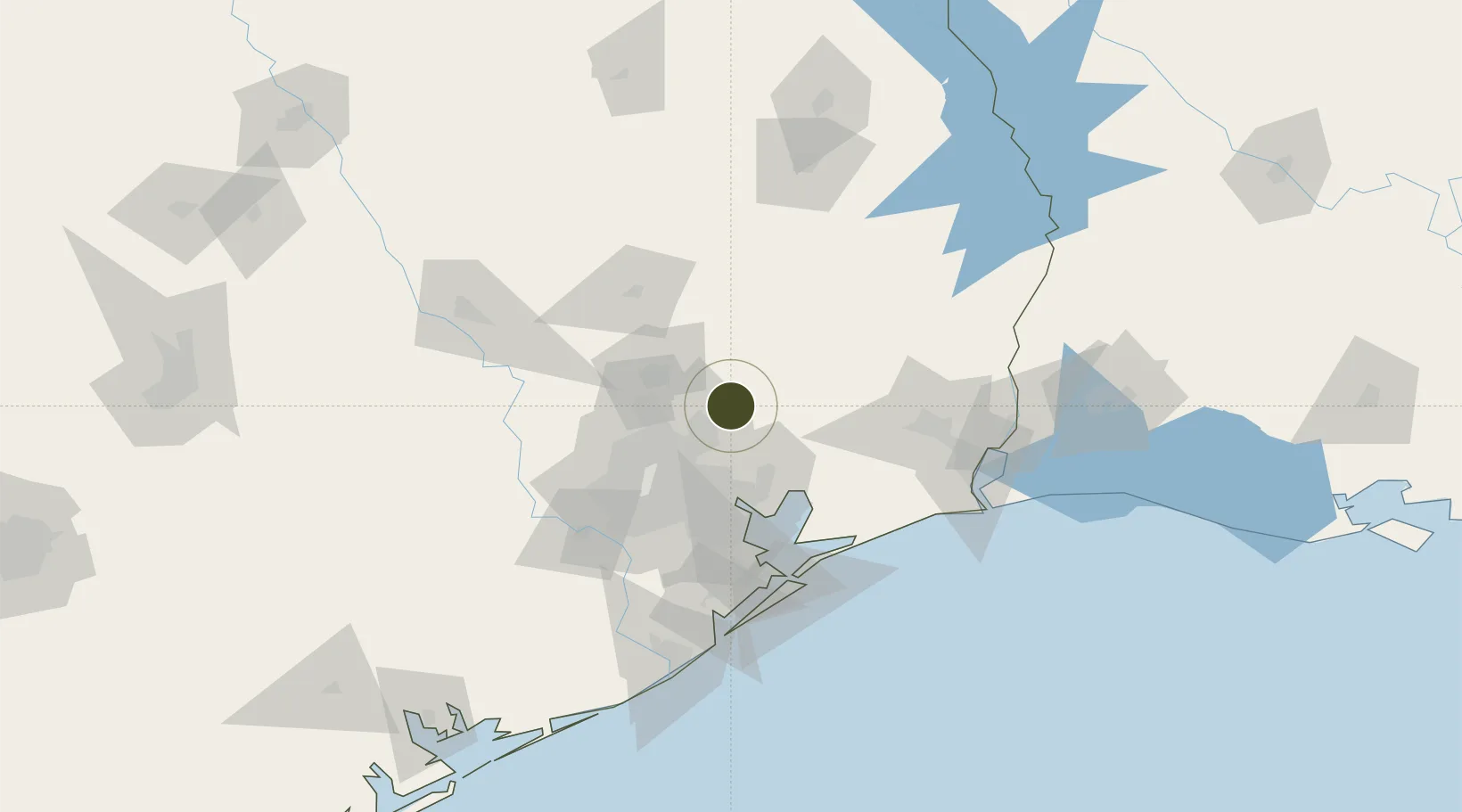
Nearby Logistics Neighbours

Ports
  1. 1Baytown51 km
  2. 2Houston52 km
  3. 3Pasadena54 km
  4. 4Deer Park54 km
  5. 5Texas City91 km
Nearest neighbours — logibook spatial index (haversine) over the source coordinates
Airports
  1. 1George Bush Intercontinental Airport34 km
  2. 2Conroe-North Houston Regional Airport37 km
  3. 3William P. Hobby Airport63 km
  4. 4Ellington Airport65 km
  5. 5Huntsville Regional Airport79 km
Nearest neighbours — logibook spatial index (haversine) over the source coordinates
Cities
  1. 1Williams11 km
  2. 2New Caney12 km
  3. 3Huffman18 km
  4. 4Atascocita24 km
  5. 5Hardin34 km
Nearest neighbours — logibook spatial index (haversine) over the source coordinates
Trade Zones
  1. 1FTZ No. 084 Harris County48 km
  2. 2FTZ No. 115 Beaumont86 km
  3. 3FTZ No. 199 Texas City90 km
  4. 4FTZ No. 036 Galveston102 km
  5. 5FTZ No. 116 Port Arthur102 km
Nearest neighbours — logibook spatial index (haversine) over the source coordinates
DatabookThe Record of Consolidated Knowledge
United States beyond logistics?
Browse databook

All Sources

Trade ZonesOpen Zone Map
CC BY
Portsthe NGA World Port Index
Public domain (US gov)
AirportsOurAirports
Public domain
LocationsUN/LOCODE
UN/LOCODE — free
← United States trade zones