UN/LOCODE hub · United States
USHPY
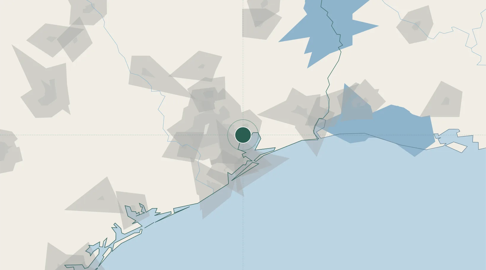
Baytown
29.7471°, -94.9510°
76,335
Population
2
Transport functions
Transport Functions
Port
Airport
Hub Profile
Place type
Populated place
Region
Texas
Population
76,335
Time zone
America/Chicago
Elevation
8 m
Logistics facilities
3
Location
Nearby Logistics Neighbours
Cities
- 1Highlands11 km
- 2Mont Belvieu15 km
- 3Pasadena20 km
- 4Kemah25 km
- 5Jacinto City27 km
Ports
- 1Pasadena26 km
- 2Houston32 km
- 3Deer Park37 km
- 4Texas City41 km
- 5Galveston51 km
Airports
Trade Zones
- 1FTZ No. 084 Harris County35 km
- 2FTZ No. 199 Texas City40 km
- 3FTZ No. 171 Liberty County51 km
- 4FTZ No. 036 Galveston51 km
- 5FTZ No. 115 Beaumont82 km
DatabookThe Record of Consolidated Knowledge
United States beyond logistics?