Medium airport · United States
Ellington AirportKEFD
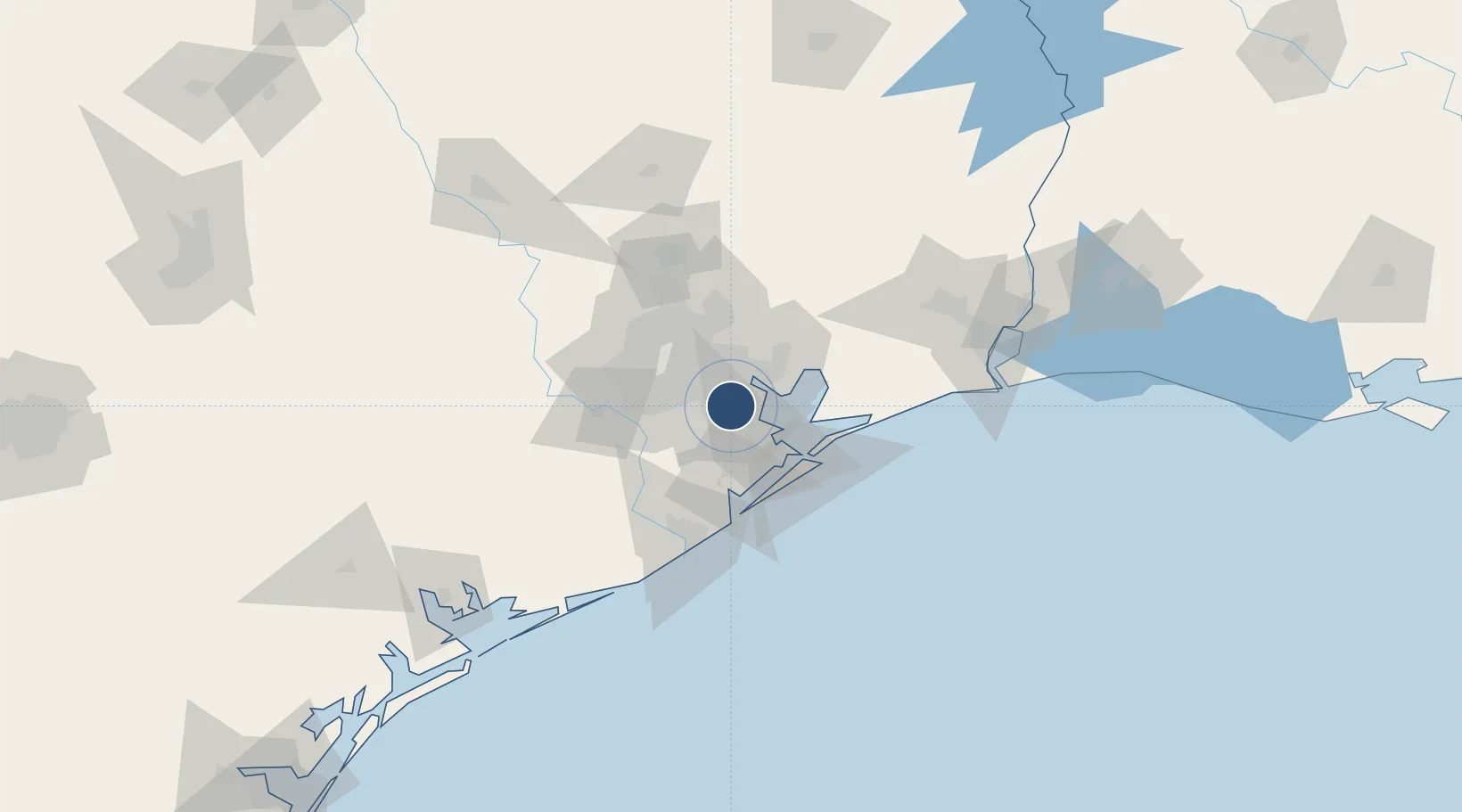
29.6073°, -95.1588°
9,001 ft
Longest runway
2
Runways
32 ft
Elevation
Runway & Layout

Radio Frequencies
ATIS
135.575 MHz
TWR
126.05 MHz
GND
121.6 MHz
A/D
134.45 MHz
HOUSTON APP DEP
MISC
38.18 MHz
HOUSTON AIR
OPS
41 MHz
ARNG OPS
OPS
142.2 MHz
ANG OPS
POST
142.2 MHz
COMD POST
UNIC
122.95 MHz
UNICOM
Runways · 2
| Runway | Dimensions | Surface | True heading | Lit |
|---|---|---|---|---|
| 17R/35L | 9,001 × 150ft | Concrete | 179° | ✓ |
| 17L/35R | 4,609 × 80ft | Concrete | 179° | — |
Airport Specifications
IATA code
EFD
ICAO code
KEFD
Airport class
Medium airport
Scheduled service
No
Runway surface
Concrete
Served city
Houston
Location
Nearby Logistics Neighbours
Airports
Cities
- 1Pasadena6 km
- 2South Houston9 km
- 3Webster, Harris9 km
- 4Friendswood11 km
- 5League City14 km
Ports
- 1Pasadena13 km
- 2Baytown20 km
- 3Houston20 km
- 4Deer Park23 km
- 5Texas City34 km
Trade Zones
- 1FTZ No. 084 Harris County26 km
- 2FTZ No. 199 Texas City33 km
- 3FTZ No. 036 Galveston48 km
- 4FTZ No. 171 Liberty County65 km
- 5FTZ No. 149 Freeport79 km
DatabookThe Record of Consolidated Knowledge
United States beyond logistics?