Seaport · United States

Deer ParkUSDEX

29.7500°, -95.3333°
14.0 m
Channel depth

Channel & Berth Profile

SEA LEVEL (CD)CHANNEL BEDOil terminal · 7.9 mAnchorage · 9.4 mChannel · 14.0 m
NGA World Port Index

Pilotage, Tugs & Services

Pilotage compulsoryYES
Pilotage advisableYES
Tug assistanceYES
MedicalYES
NGA World Port Index

Facilities & Capabilities

Container
Ro-Ro
Liquid bulk
Dry bulk
Oil terminal
Break bulk
Dry dock
Repairs
Bunkering
Rail link
Dangerous cargo
ISPS security
NGA World Port Index

Harbour Specifications
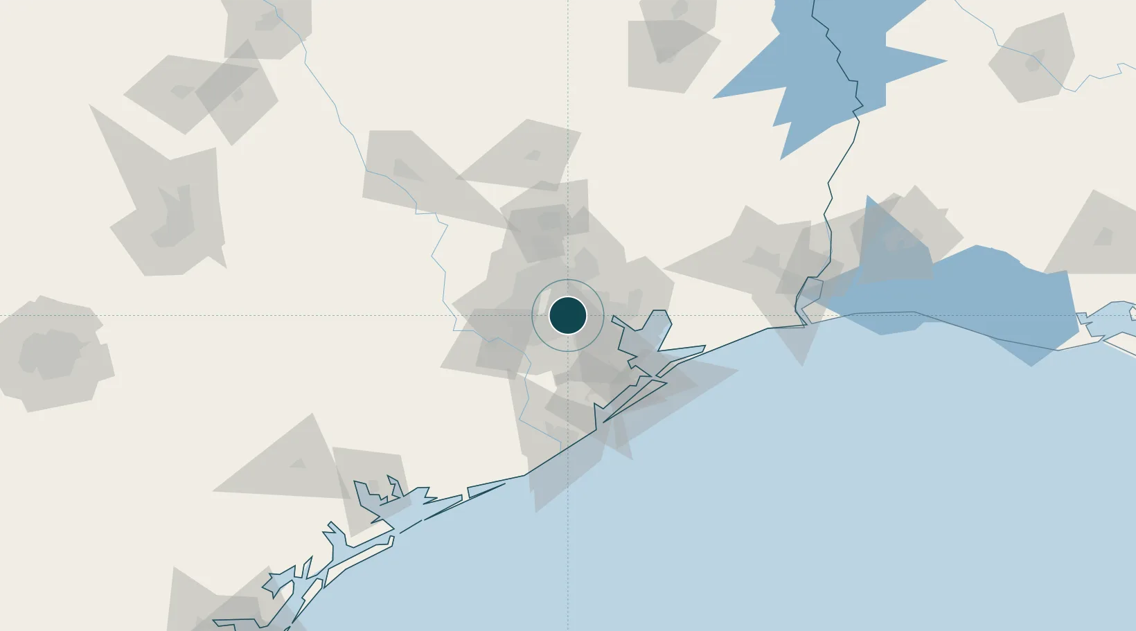
Harbour size
Very Small
NGA World Port Index
Harbour type
River (Natural)
NGA World Port Index
Shelter
Good
NGA World Port Index
Water body
Gulf of Mexico; North Atlantic Ocean
NGA World Port Index
Overhead limit
Yes
NGA World Port Index
Pilotage
Yes
NGA World Port Index

Location

Location of USDEX
Natural Earth 10m (public domain) · Texas · USDEX · 29.75, -95.33GoogleOSMYandex

Nearby Logistics Neighbours

Ports
  1. 1Houston5 km
  2. 2Pasadena12 km
  3. 3Baytown31 km
  4. 4Texas City57 km
  5. 5Galveston72 km
Nearest neighbours — logibook spatial index (haversine) over the source coordinates
Cities
  1. 1Englewood Yard5 km
  2. 2Houston9 km
  3. 3Jacinto City10 km
  4. 4South Houston15 km
  5. 5Spring Valley17 km
Nearest neighbours — logibook spatial index (haversine) over the source coordinates
Airports
  1. 1William P. Hobby Airport13 km
  2. 2Ellington Airport23 km
  3. 3George Bush Intercontinental Airport26 km
  4. 4Sugar Land Regional Airport34 km
  5. 5Conroe-North Houston Regional Airport67 km
Nearest neighbours — logibook spatial index (haversine) over the source coordinates
Trade Zones
  1. 1FTZ No. 084 Harris County6 km
  2. 2FTZ No. 171 Liberty County54 km
  3. 3FTZ No. 199 Texas City56 km
  4. 4FTZ No. 036 Galveston71 km
  5. 5FTZ No. 149 Freeport90 km
Nearest neighbours — logibook spatial index (haversine) over the source coordinates
DatabookThe Record of Consolidated Knowledge
United States beyond logistics?
Browse databook

All Sources

Portsthe NGA World Port Index
Public domain (US gov)
AirportsOurAirports
Public domain
LocationsUN/LOCODE
UN/LOCODE — free
Trade Zonesthe World Bank SEZ database
CC BY 4.0
Trade ZonesOpen Zone Map
CC BY
← United States ports