Large airport · United States
William P. Hobby AirportKHOU
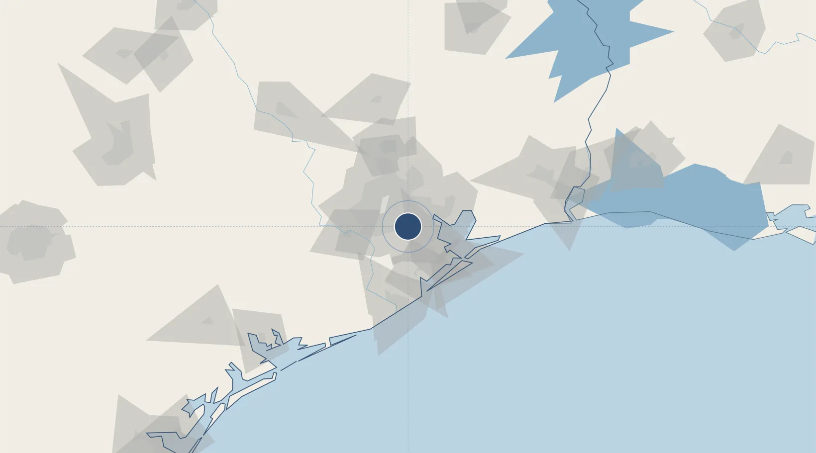
29.6453°, -95.2768°
7,602 ft
Longest runway
3
Runways
46 ft
Elevation
Runway & Layout

Radio Frequencies
ATIS
124.6 MHz
TWR
118.7 MHz
HOBBY TWR
GND
121.9 MHz
CLD
125.45 MHz
CLNC DEL
APP
120.05 MHz
HOUSTON APP
DEP
28.4 MHz
HOUSTON DEP
DEP
119.7 MHz
HOUSTON DEP
RDO
122.35 MHz
MONTGOMERY CO RDO
UNIC
122.95 MHz
UNICOM
Navaids
HUB VOR-DME Hobby 117.10 MHz
Runways · 3
| Runway | Dimensions | Surface | True heading | Lit |
|---|---|---|---|---|
| 04/22 | 7,602 × 150ft | Concrete | 044° | ✓ |
| 13R/31L | 7,602 × 150ft | Asphalt | 134° | ✓ |
| 13L/31R | 5,148 × 100ft | Concrete | 134° | ✓ |
Airport Specifications
IATA code
HOU
ICAO code
KHOU
Airport class
Large airport
Scheduled service
Yes
Runway surface
Concrete
Served city
Houston
Location
Nearby Logistics Neighbours
Airports
Cities
- 1South Houston4 km
- 2Houston14 km
- 3Jacinto City14 km
- 4Pasadena15 km
- 5Englewood Yard16 km
Ports
- 1Pasadena10 km
- 2Houston12 km
- 3Deer Park13 km
- 4Baytown27 km
- 5Texas City45 km
Trade Zones
- 1FTZ No. 084 Harris County18 km
- 2FTZ No. 199 Texas City44 km
- 3FTZ No. 036 Galveston60 km
- 4FTZ No. 171 Liberty County63 km
- 5FTZ No. 149 Freeport80 km
DatabookThe Record of Consolidated Knowledge
United States beyond logistics?