Large airport · United States
George Bush Intercontinental AirportKIAH
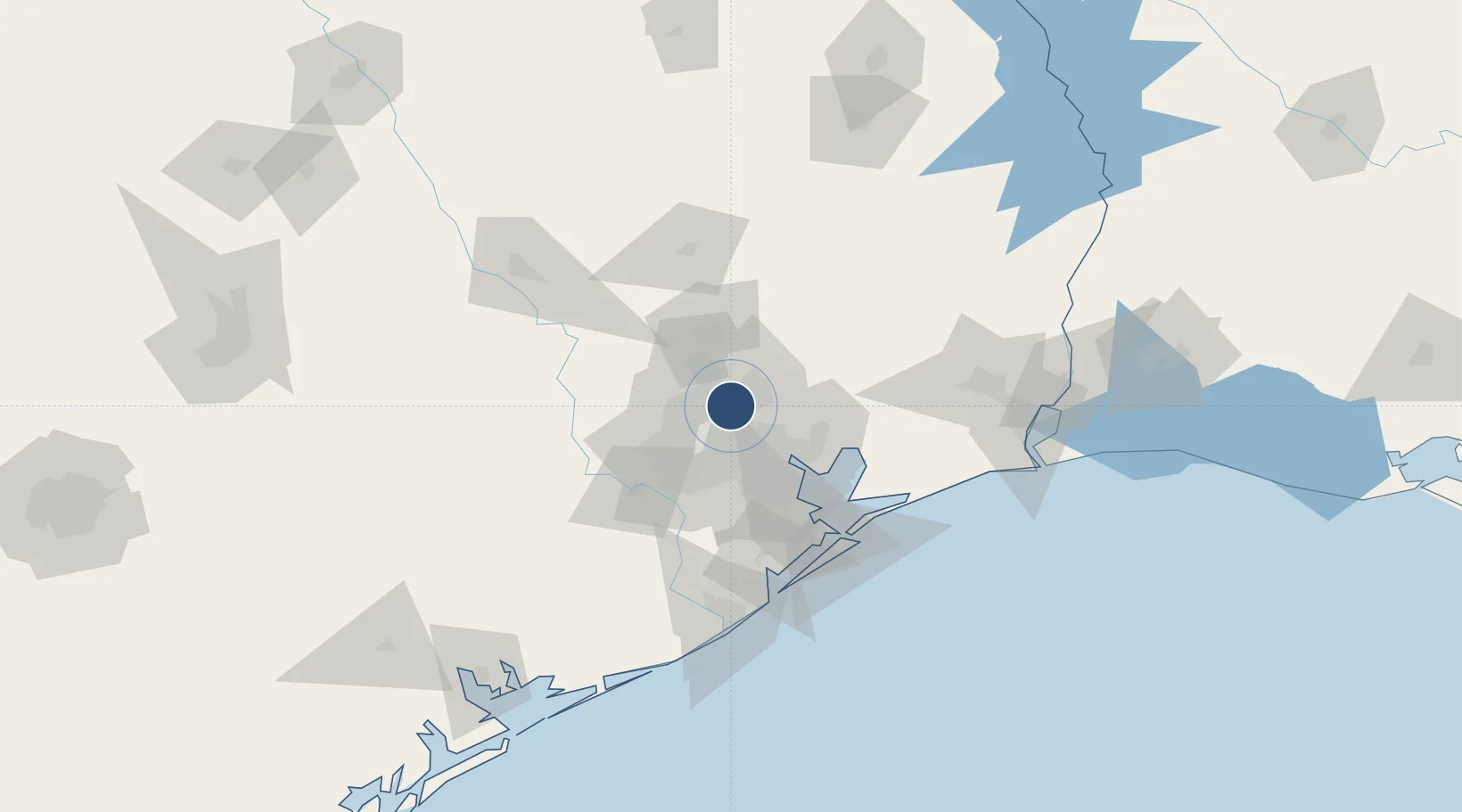
29.9844°, -95.3414°
12,001 ft
Longest runway
5
Runways
97 ft
Elevation
Runway & Layout

Radio Frequencies
ATIS
124.05 MHz
TWR
29.02 MHz
TWR
120.725 MHz
GND
118.575 MHz
CLD
128.1 MHz
CLNC DEL
APP
120.05 MHz
DEP
28.14 MHz
DEP
119.7 MHz
RDO
122.4 MHz
MONTGOMERY CO RDO
UNIC
122.95 MHz
UNICOM
Navaids
BVP NDB Nixin 326 kHz
Runways · 5
| Runway | Dimensions | Surface | True heading | Lit |
|---|---|---|---|---|
| 15L/33R | 12,001 × 150ft | Concrete | 152° | ✓ |
| 09/27 | 10,000 × 150ft | Asphalt | 090° | ✓ |
| 15R/33L | 10,000 × 150ft | Concrete | 152° | ✓ |
| 08R/26L | 9,402 × 150ft | Concrete | 090° | ✓ |
| 08L/26R | 9,000 × 150ft | Concrete | 090° | ✓ |
Airport Specifications
IATA code
IAH
ICAO code
KIAH
Airport class
Large airport
Scheduled service
Yes
Runway surface
Concrete
Served city
Houston
Location
Nearby Logistics Neighbours
Airports
Cities
- 1Atascocita17 km
- 2North Houston17 km
- 3Huffman19 km
- 4Englewood Yard23 km
- 5New Caney23 km
Ports
- 1Deer Park26 km
- 2Houston27 km
- 3Pasadena32 km
- 4Baytown42 km
- 5Texas City78 km
Trade Zones
- 1FTZ No. 084 Harris County21 km
- 2FTZ No. 171 Liberty County34 km
- 3FTZ No. 199 Texas City77 km
- 4FTZ No. 036 Galveston92 km
- 5FTZ No. 115 Beaumont111 km
DatabookThe Record of Consolidated Knowledge
United States beyond logistics?