Transport Functions
Road
Multimodal
Hub Profile
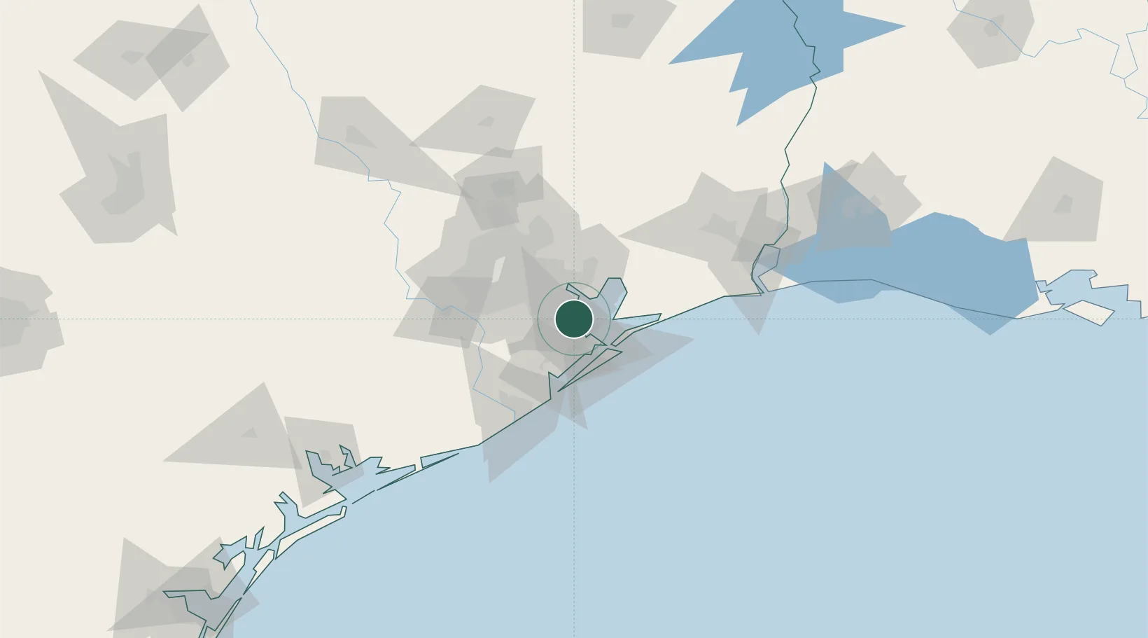
Place type
Populated place
Region
Texas
Population
1,986
Time zone
America/Chicago
Elevation
2 m
Location
Nearby Logistics Neighbours
Cities
- 1League City7 km
- 2Webster, Harris10 km
- 3Pasadena17 km
- 4Texas City17 km
- 5Friendswood18 km
Ports
- 1Texas City19 km
- 2Baytown22 km
- 3Pasadena28 km
- 4Galveston33 km
- 5Houston35 km
Airports
Trade Zones
- 1FTZ No. 199 Texas City18 km
- 2FTZ No. 036 Galveston33 km
- 3FTZ No. 084 Harris County41 km
- 4FTZ No. 171 Liberty County73 km
- 5FTZ No. 149 Freeport77 km
DatabookThe Record of Consolidated Knowledge
United States beyond logistics?