UN/LOCODE hub · United States
USHIN
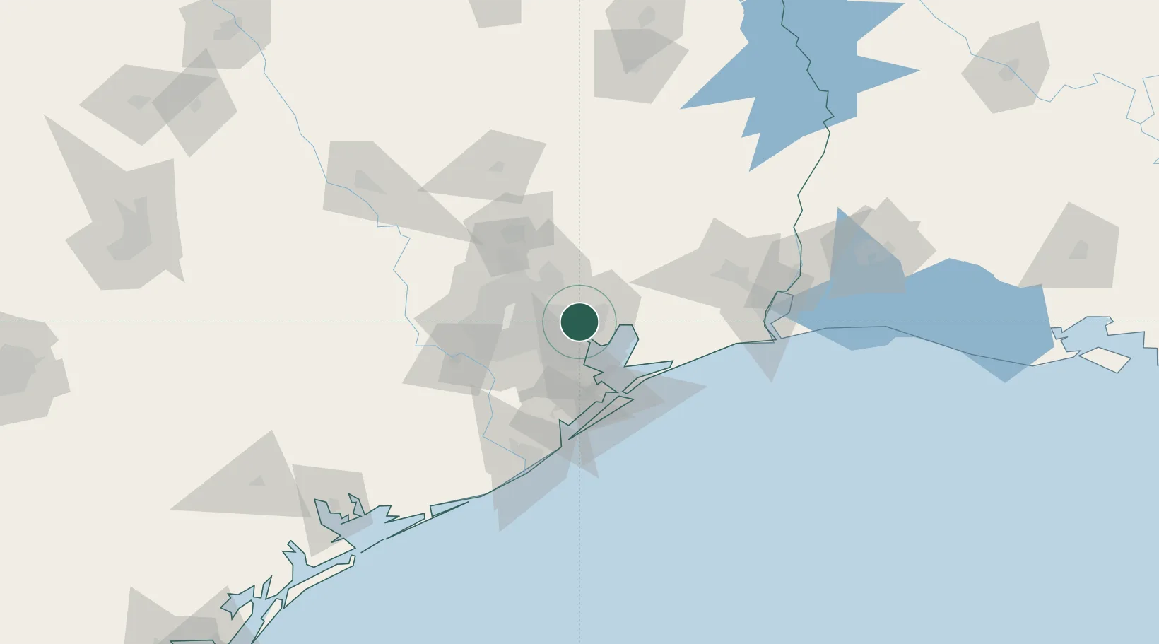
Highlands
29.8000°, -95.0500°
7,522
Population
2
Transport functions
Transport Functions
Rail
Road
Hub Profile
Place type
Populated place
Region
Texas
Population
7,522
Time zone
America/Chicago
Elevation
11 m
Location
Nearby Logistics Neighbours
Cities
- 1Baytown11 km
- 2Mont Belvieu15 km
- 3Pasadena18 km
- 4Jacinto City18 km
- 5Houston19 km
Ports
- 1Baytown8 km
- 2Pasadena19 km
- 3Houston23 km
- 4Deer Park28 km
- 5Texas City48 km
Airports
Trade Zones
- 1FTZ No. 084 Harris County25 km
- 2FTZ No. 171 Liberty County43 km
- 3FTZ No. 199 Texas City47 km
- 4FTZ No. 036 Galveston60 km
- 5FTZ No. 115 Beaumont88 km
DatabookThe Record of Consolidated Knowledge
United States beyond logistics?