UN/LOCODE hub · United States
USPAS
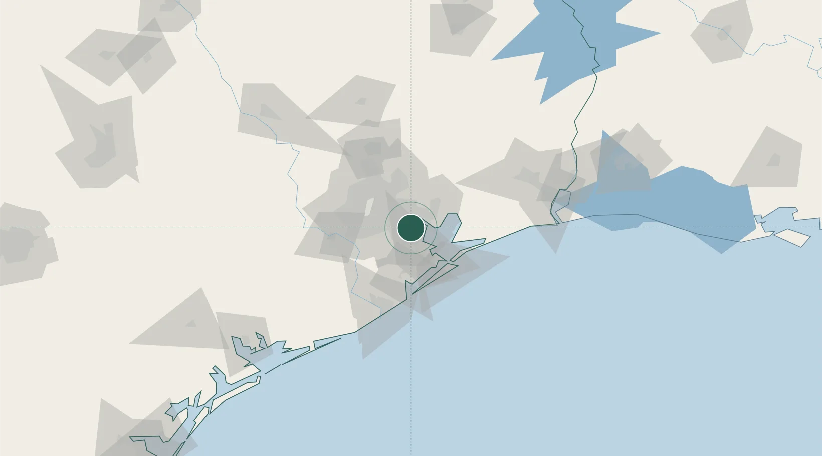
Pasadena
29.6556°, -95.1233°
153,784
Population
2
Transport functions
Transport Functions
Port
Road
Hub Profile
Place type
Populated place
Region
Texas
Population
153,784
Time zone
America/Chicago
Elevation
9 m
Logistics facilities
4
Location
Nearby Logistics Neighbours
Cities
- 1South Houston11 km
- 2Webster, Harris14 km
- 3Jacinto City16 km
- 4Kemah17 km
- 5Friendswood17 km
Ports
- 1Baytown13 km
- 2Houston19 km
- 3Deer Park23 km
- 4Texas City36 km
- 5Galveston50 km
Airports
Trade Zones
- 1FTZ No. 084 Harris County24 km
- 2FTZ No. 199 Texas City35 km
- 3FTZ No. 036 Galveston50 km
- 4FTZ No. 171 Liberty County59 km
- 5FTZ No. 149 Freeport85 km
DatabookThe Record of Consolidated Knowledge
United States beyond logistics?