Channel & Berth Profile
Pilotage, Tugs & Services
Pilotage compulsoryYES
Pilotage availableYES
Pilotage advisableYES
Tug assistanceYES
Salvage tugsYES
Shore powerYES
Potable waterYES
Diesel bunkersYES
MedicalYES
Garbage disposalYES
Facilities & Capabilities
Container—
Ro-Ro—
Liquid bulk—
Dry bulk—
Oil terminal—
Break bulk—
Dry dockNO
RepairsNO
BunkeringYES
Rail linkYES
Dangerous cargo—
ISPS security—
Harbour Specifications
Harbour size
Large
Harbour type
River (Tide Gates)
Shelter
Good
Water body
Gulf of Mexico; North Atlantic Ocean
Overhead limit
Yes
Pilotage
Yes
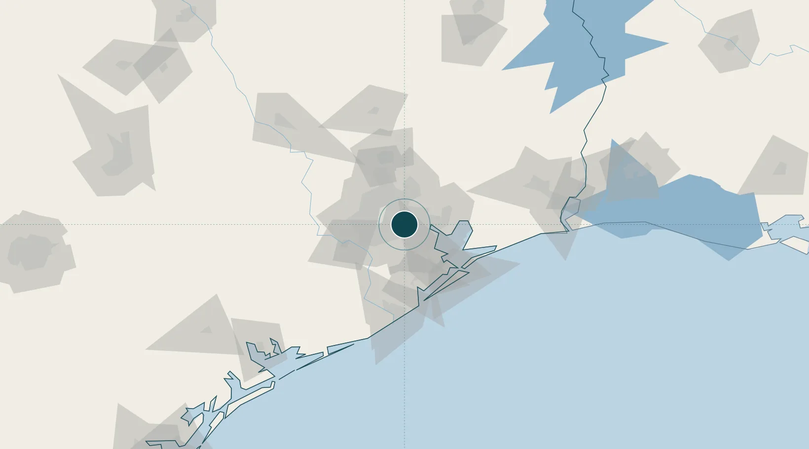
Location
Container Terminals · 3
BARBOURS CUT MARINE TERMINAL
BCMT PORT OF HOUSTON AUTHORITY
BAYPORT TERMINAL
BPTM PORT OF HOUSTON AUTHORITY
JACINTOPORT
JPI JACINTOPORT INTERNATIONAL LLC
Nearby Logistics Neighbours
Ports
- 1Deer Park5 km
- 2Pasadena7 km
- 3Baytown26 km
- 4Texas City54 km
- 5Galveston68 km
Cities
- 1Englewood Yard4 km
- 2Jacinto City5 km
- 3South Houston12 km
- 4Pasadena19 km
- 5Spring Valley21 km
Airports
Trade Zones
- 1FTZ No. 084 Harris County6 km
- 2FTZ No. 171 Liberty County52 km
- 3FTZ No. 199 Texas City53 km
- 4FTZ No. 036 Galveston68 km
- 5FTZ No. 149 Freeport91 km
DatabookThe Record of Consolidated Knowledge
United States beyond logistics?