Seaport · United States
GalvestonUSGLS
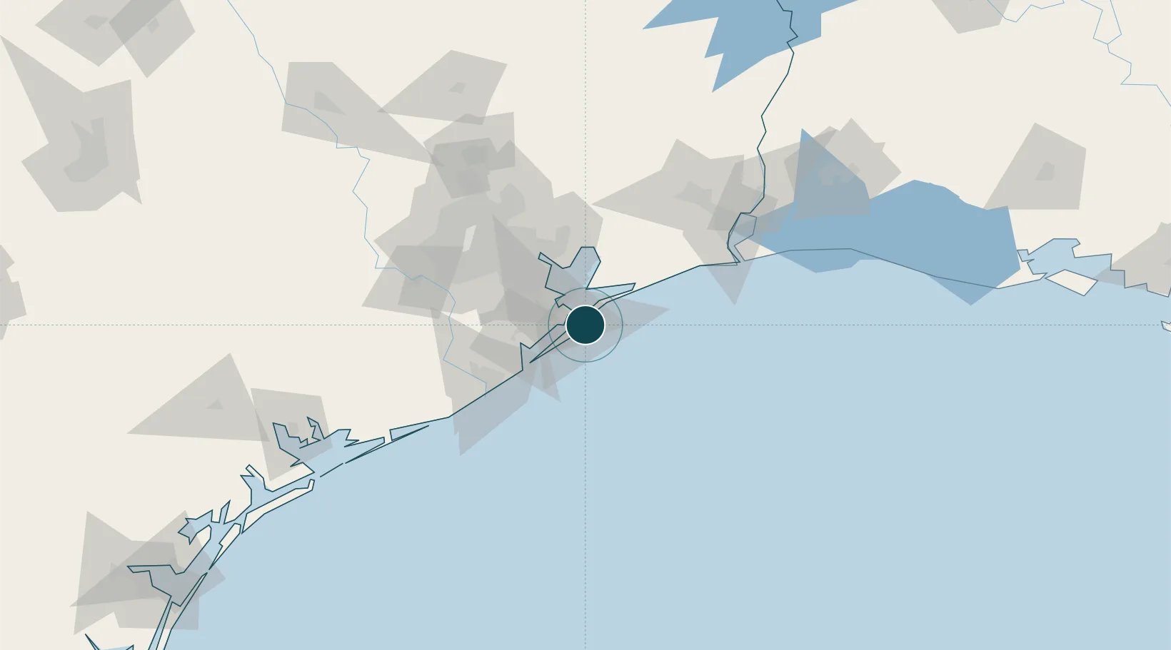
29.3167°, -94.7833°
11.0 m
Channel depth
13.8
Port liner connectivity
Channel & Berth Profile
Pilotage, Tugs & Services
Pilotage compulsoryYES
Pilotage availableYES
Pilotage advisableYES
Tug assistanceYES
Shore powerYES
Potable waterYES
Diesel bunkersYES
MedicalYES
Garbage disposalYES
Facilities & Capabilities
Container—
Ro-Ro—
Liquid bulk—
Dry bulk—
Oil terminal—
Break bulk—
Dry dockNO
RepairsNO
BunkeringYES
Rail linkYES
Dangerous cargo—
ISPS security—
Harbour Specifications
Harbour size
Large
Harbour type
Coastal (Natural)
Shelter
Good
Water body
Gulf of Mexico; North Atlantic Ocean
Overhead limit
Yes
Pilotage
Yes
Liner Connectivity
13.8
PLSCI
Port Liner Shipping Connectivity Index for Galveston, as published by UNCTAD for the latest available quarter. Higher values indicate stronger scheduled liner-shipping integration.
Shown relative to the highest per-port PLSCI in the dataset (1,657.9).
Location
Nearby Logistics Neighbours
Ports
- 1Texas City15 km
- 2Baytown52 km
- 3Pasadena61 km
- 4Freeport67 km
- 5Houston68 km
Cities
- 1Port Bolivar6 km
- 2Texas City17 km
- 3Santa Fe31 km
- 4Kemah33 km
- 5League City36 km
Airports
Trade Zones
- 1FTZ No. 036 Galveston2 km
- 2FTZ No. 199 Texas City16 km
- 3FTZ No. 084 Harris County74 km
- 4FTZ No. 149 Freeport76 km
- 5FTZ No. 116 Port Arthur87 km
DatabookThe Record of Consolidated Knowledge
United States beyond logistics?