Seaport · Papua New Guinea
RabaulPGRAB
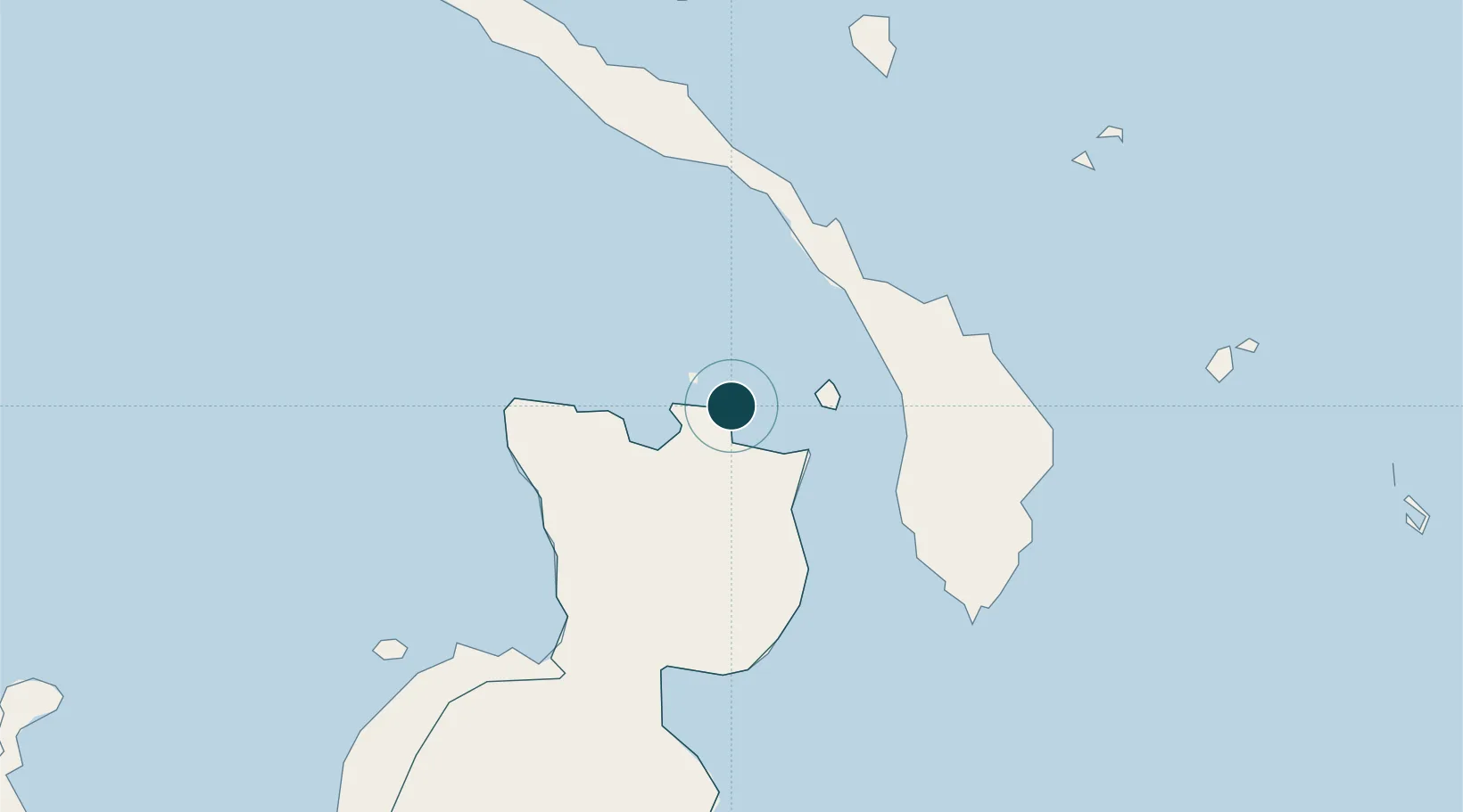
-4.2000°, 152.1833°
23.2 m
Channel depth
1
Container terminals
47.9
Port liner connectivity
Channel & Berth Profile
Pilotage, Tugs & Services
Pilotage compulsoryYES
Pilotage availableYES
Tug assistanceYES
Salvage tugsNO
Shore powerYES
Potable waterYES
Diesel bunkersYES
MedicalYES
Garbage disposalYES
Facilities & Capabilities
ContainerYES
Ro-Ro—
Liquid bulk—
Dry bulk—
Oil terminal—
Break bulk—
Dry dock—
RepairsNO
BunkeringYES
Rail link—
Dangerous cargo—
ISPS security—
Harbour Specifications
Harbour size
Small
Harbour type
Coastal (Natural)
Shelter
Excellent
Water body
Bismarck Sea; South Pacific Ocean
Overhead limit
No
Pilotage
Yes
Liner Connectivity
47.9
PLSCI
Port Liner Shipping Connectivity Index for Rabaul, as published by UNCTAD for the latest available quarter. Higher values indicate stronger scheduled liner-shipping integration.
Shown relative to the highest per-port PLSCI in the dataset (1,657.9).
Location
Container Terminals · 1
RABAUL PORT
PRAB PNG PORTS CORPORATION LIMITED
Nearby Logistics Neighbours
Ports
- 1Bialla181 km
- 2Kimbe210 km
- 3Kavieng Harbor236 km
- 4Kieta443 km
- 5Lorengau597 km
Cities
- 1Pondo Harbour75 km
- 2Lambom Island98 km
- 3Londolovit135 km
- 4Ulamona136 km
- 5Lakuramau179 km
Airports
- 1Tokua Airport27 km
- 2Londolovit Airport138 km
- 3Kavieng Airport236 km
- 4Hoskins Airport242 km
- 5Buka Airport308 km
Trade Zones
DatabookThe Record of Consolidated Knowledge
Papua New Guinea beyond logistics?