Seaport · Papua New Guinea
KietaPGKIE
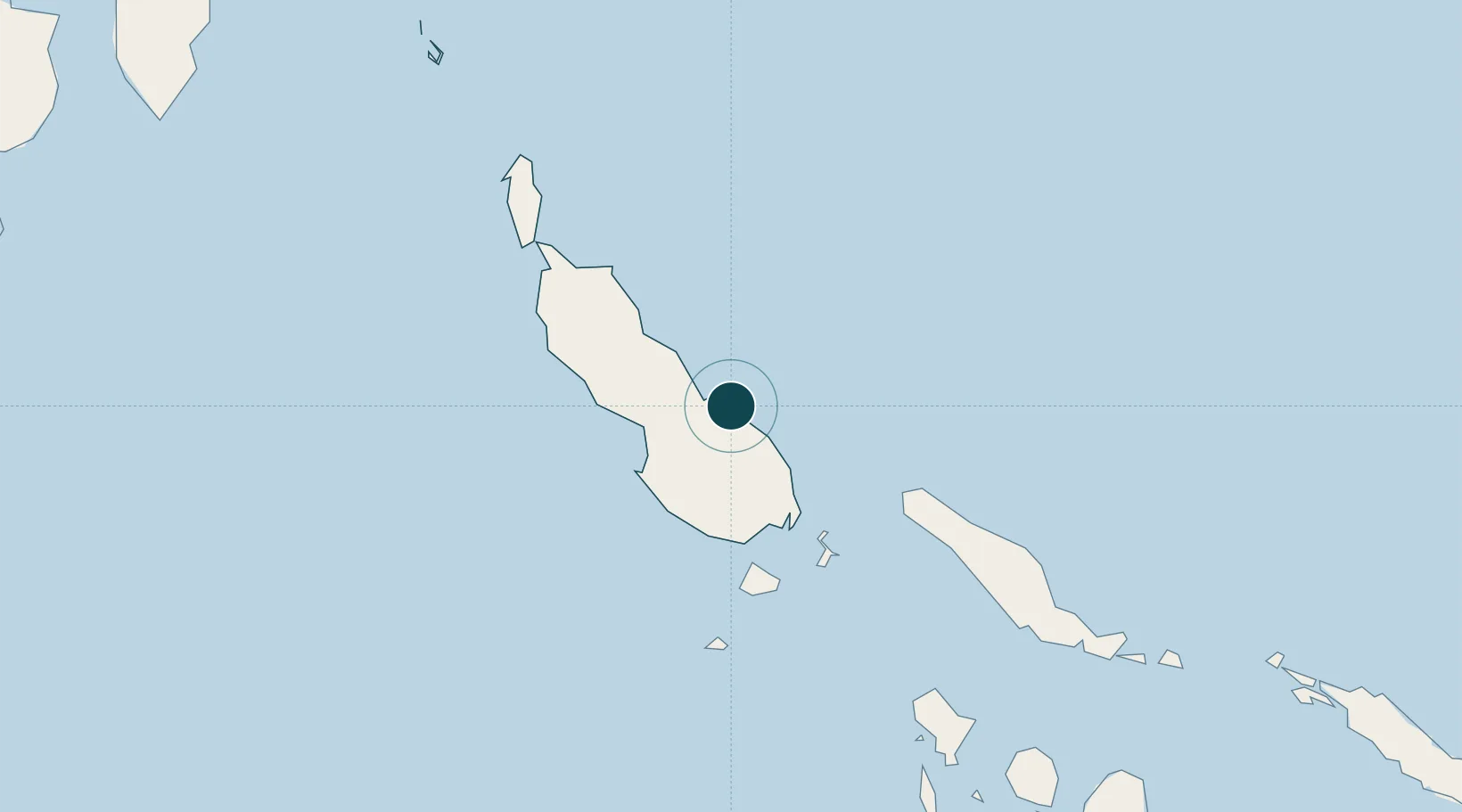
-6.2167°, 155.6333°
23.2 m
Channel depth
10.4
Port liner connectivity
Channel & Berth Profile
Pilotage, Tugs & Services
Pilotage compulsoryYES
Pilotage availableYES
Pilotage advisableYES
Local assistanceNO
Tug assistanceYES
Salvage tugsYES
Potable waterNO
Diesel bunkersYES
MedicalYES
Facilities & Capabilities
Container—
Ro-Ro—
Liquid bulk—
Dry bulk—
Oil terminal—
Break bulk—
Dry dock—
RepairsNO
Bunkering—
Rail link—
Dangerous cargo—
ISPS security—
Harbour Specifications
Harbour size
Small
Harbour type
Coastal (Natural)
Shelter
Fair
Water body
South Pacific Ocean
Tidal range
2 m
Pilotage
Yes
Liner Connectivity
10.4
PLSCI
Port Liner Shipping Connectivity Index for Kieta, as published by UNCTAD for the latest available quarter. Higher values indicate stronger scheduled liner-shipping integration.
Shown relative to the highest per-port PLSCI in the dataset (1,657.9).
Location
Nearby Logistics Neighbours
Ports
- 1Gizo Harbor249 km
- 2Ringgi Cove266 km
- 3Port Noro281 km
- 4Rabaul443 km
- 5Yandina508 km
Cities
- 1Anewa Bay9 km
- 2Shortland Harbour100 km
- 3Choiseul Bay103 km
- 4Gizo249 km
- 5Ringgi Cove, Kolombangara267 km
Airports
- 1Aropa Airport14 km
- 2Ballalae Airport91 km
- 3Choiseul Bay Airport101 km
- 4Mono Airport134 km
- 5Buka Airport138 km
Trade Zones
DatabookThe Record of Consolidated Knowledge
Papua New Guinea beyond logistics?