UN/LOCODE hub · Papua New Guinea
PGLAK

Lakuramau

-2.8833°, 151.2500°
1
Transport functions

Transport Functions

Port
UN/LOCODE

Hub Profile

Place type
Populated place
GeoNames
Region
New Ireland
GeoNames
Time zone
Pacific/Port_Moresby
GeoNames
Elevation
16 m
GeoNames

Location

Location of PGLAK
Natural Earth 10m (public domain) · New Ireland · PGLAK · -2.88, 151.25GoogleOSMYandex

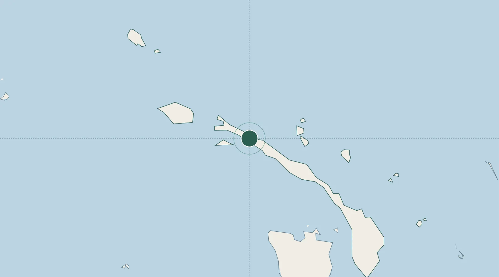
Nearby Logistics Neighbours

Cities
  1. 1Londolovit153 km
  2. 2Rabaul178 km
  3. 3Pondo Harbour192 km
  4. 4Ulamona235 km
  5. 5Lambom Island276 km
Nearest neighbours — logibook spatial index (haversine) over the source coordinates
Ports
  1. 1Kavieng Harbor60 km
  2. 2Rabaul179 km
  3. 3Kimbe263 km
  4. 4Bialla270 km
  5. 5Lorengau453 km
Nearest neighbours — logibook spatial index (haversine) over the source coordinates
Airports
  1. 1Kavieng Airport60 km
  2. 2Londolovit Airport154 km
  3. 3Tokua Airport205 km
  4. 4Hoskins Airport302 km
  5. 5Gasmata Island Airport390 km
Nearest neighbours — logibook spatial index (haversine) over the source coordinates
Trade Zones
  1. 1Bana (Bougainville) Special Economic Zone435 km
  2. 2Ledger Atlas Special Economic Zone560 km
  3. 3Nadzab (Momase) Special Economic Zone643 km
  4. 4Pacific Marine Industrial Zone660 km
  5. 5Morobe Agricultural Special Economic Zone734 km
Nearest neighbours — logibook spatial index (haversine) over the source coordinates
DatabookThe Record of Consolidated Knowledge
Papua New Guinea beyond logistics?
Browse databook

All Sources

LocationsUN/LOCODE
UN/LOCODE — free
Portsthe NGA World Port Index
Public domain (US gov)
AirportsOurAirports
Public domain
Trade Zonesthe World Bank SEZ database
CC BY 4.0
Trade ZonesOpen Zone Map
CC BY
← Papua New Guinea locations