UN/LOCODE hub · Papua New Guinea
PGLAM

Lambom Island

-4.8000°, 152.8333°
1
Transport functions

Transport Functions

Port
UN/LOCODE

Hub Profile

Region
NIK
GeoNames

Location

Location of PGLAM
Natural Earth 10m (public domain) · NIK · PGLAM · -4.80, 152.83GoogleOSMYandex

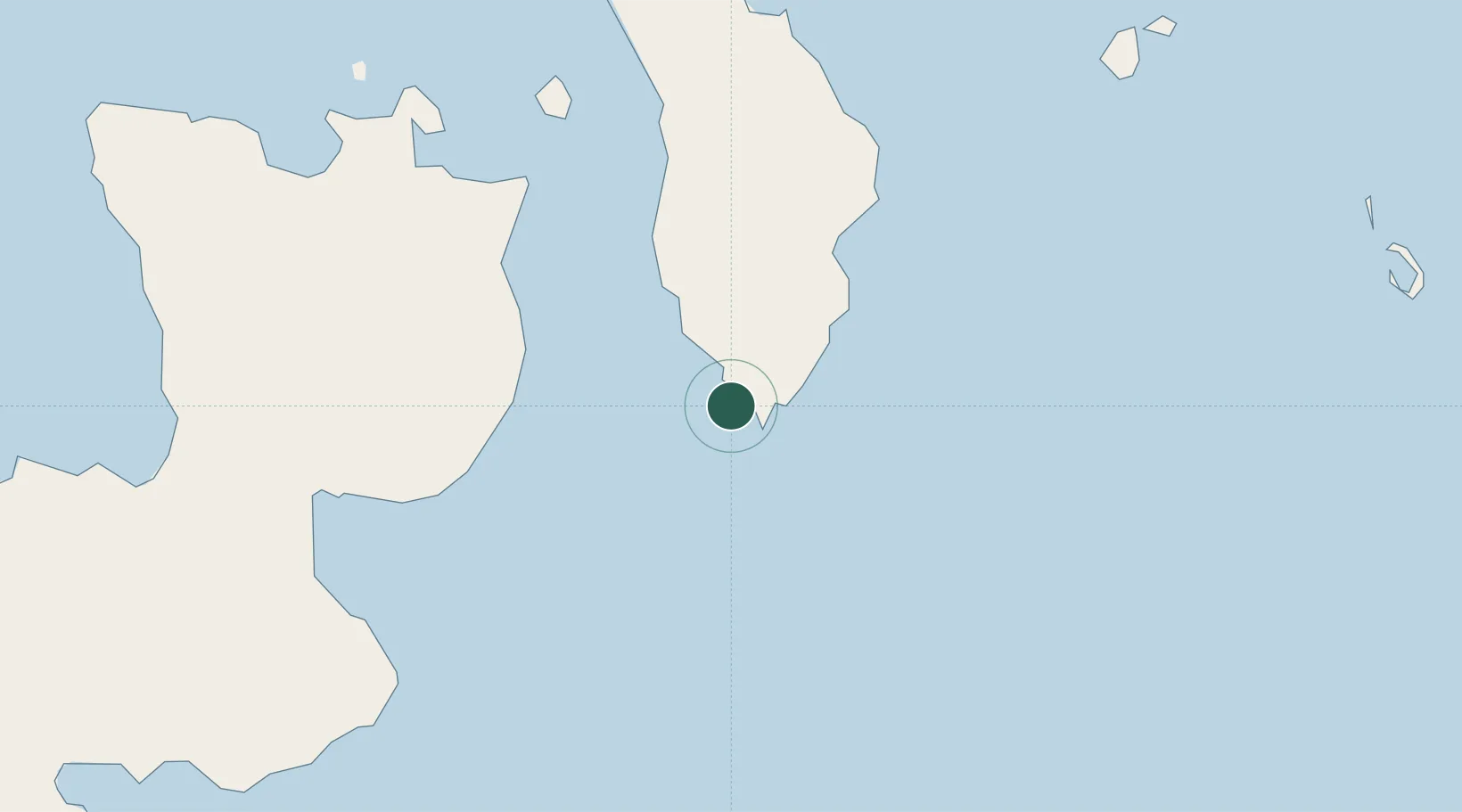
Nearby Logistics Neighbours

Cities
  1. 1Rabaul100 km
  2. 2Pondo Harbour137 km
  3. 3Ulamona177 km
  4. 4Londolovit194 km
  5. 5Amio273 km
Nearest neighbours — logibook spatial index (haversine) over the source coordinates
Ports
  1. 1Rabaul98 km
  2. 2Bialla212 km
  3. 3Kimbe258 km
  4. 4Kavieng Harbor334 km
  5. 5Kieta348 km
Nearest neighbours — logibook spatial index (haversine) over the source coordinates
Airports
  1. 1Tokua Airport72 km
  2. 2Londolovit Airport197 km
  3. 3Buka Airport215 km
  4. 4Hoskins Airport279 km
  5. 5Gasmata Island Airport322 km
Nearest neighbours — logibook spatial index (haversine) over the source coordinates
Trade Zones
  1. 1Bana (Bougainville) Special Economic Zone192 km
  2. 2Ledger Atlas Special Economic Zone587 km
  3. 3Nadzab (Momase) Special Economic Zone697 km
  4. 4Pacific Marine Industrial Zone783 km
  5. 5Morobe Agricultural Special Economic Zone804 km
Nearest neighbours — logibook spatial index (haversine) over the source coordinates
DatabookThe Record of Consolidated Knowledge
Papua New Guinea beyond logistics?
Browse databook

All Sources

LocationsUN/LOCODE
UN/LOCODE — free
Portsthe NGA World Port Index
Public domain (US gov)
AirportsOurAirports
Public domain
Trade Zonesthe World Bank SEZ database
CC BY 4.0
Trade ZonesOpen Zone Map
CC BY
← Papua New Guinea locations