Channel & Berth Profile
Pilotage, Tugs & Services
Pilotage compulsoryYES
Pilotage availableYES
Tug assistanceNO
Salvage tugsNO
Potable waterNO
Diesel bunkersYES
Facilities & Capabilities
Container—
Ro-Ro—
Liquid bulk—
Dry bulk—
Oil terminal—
Break bulk—
Dry dock—
Repairs—
Bunkering—
Rail link—
Dangerous cargo—
ISPS security—
Harbour Specifications
Harbour size
Very Small
Harbour type
Coastal (Natural)
Shelter
Fair
Water body
Bismarck Sea; South Pacific Ocean
Tidal range
1 m
Pilotage
Yes
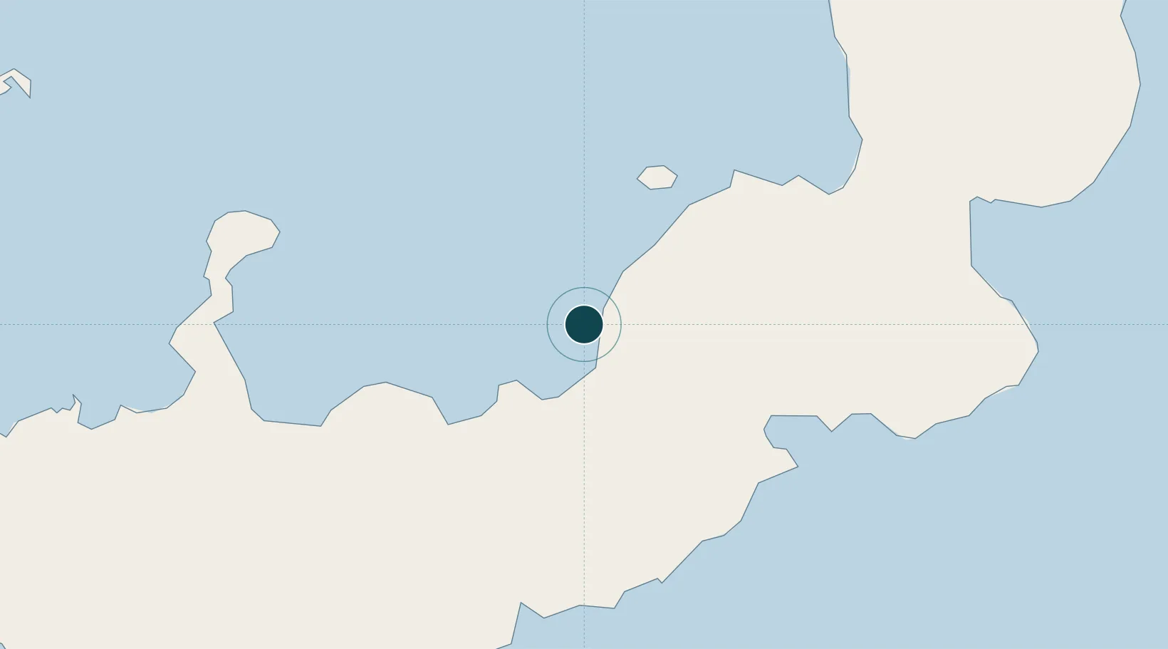
Location
Nearby Logistics Neighbours
Ports
- 1Kimbe53 km
- 2Rabaul181 km
- 3Kavieng Harbor303 km
- 4Lae468 km
- 5Oro Bay485 km
Cities
- 1Ulamona45 km
- 2Amio94 km
- 3Kimbe97 km
- 4Pondo Harbour108 km
- 5Rabaul179 km
Airports
- 1Hoskins Airport66 km
- 2Gasmata Island Airport130 km
- 3Tokua Airport188 km
- 4Kavieng Airport303 km
- 5Londolovit Airport310 km
Trade Zones
DatabookThe Record of Consolidated Knowledge
Papua New Guinea beyond logistics?