Free Trade Zone · Papua New Guinea

Bana (Bougainville) Special Economic Zone Under Development
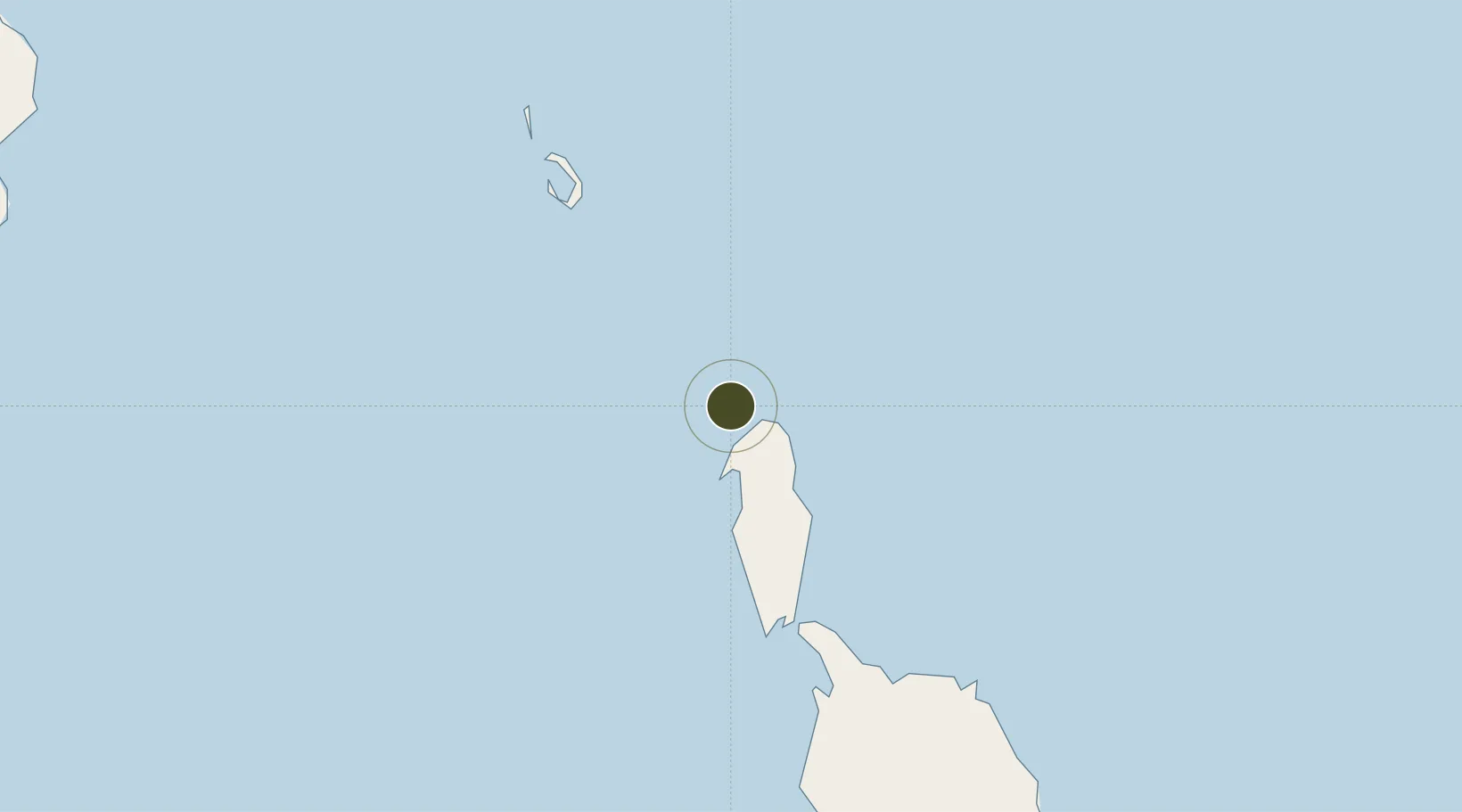
-4.9851°, 154.5597°
93 ha
Zone area
181.3 km
Nearest port
50.2 km
Nearest airport

Gateway access

Nearest neighbours — logibook spatial index (haversine) over the source coordinates

Zone profile

Zone type
Free Trade Zone
Open Zone Map
Region
North Solomons
Open Zone Map
Status
Under Development
Open Zone Map
Management
Public
Open Zone Map
Operator
Autonomous Bougainville Government
Open Zone Map
Legal framework
Special Economic Zones Authority Act 2019
Open Zone Map

Location

Location of ozm-3077
Natural Earth 10m (public domain) · North Solomons · ozm-3077 · -4.99, 154.56GoogleOSMYandex

Nearby Logistics Neighbours

Ports
  1. 1Kieta181 km
  2. 2Rabaul278 km
  3. 3Bialla398 km
  4. 4Gizo Harbor429 km
  5. 5Kimbe446 km
Nearest neighbours — logibook spatial index (haversine) over the source coordinates
Airports
  1. 1Buka Airport50 km
  2. 2Aropa Airport196 km
  3. 3Tokua Airport252 km
  4. 4Ballalae Airport267 km
  5. 5Choiseul Bay Airport280 km
Nearest neighbours — logibook spatial index (haversine) over the source coordinates
Cities
  1. 1Anewa Bay174 km
  2. 2Lambom Island192 km
  3. 3Shortland Harbour274 km
  4. 4Rabaul279 km
  5. 5Choiseul Bay282 km
Nearest neighbours — logibook spatial index (haversine) over the source coordinates
Trade Zones
  1. 1Ledger Atlas Special Economic Zone764 km
  2. 2Tulagi Island Special Economic Zone767 km
  3. 3Nadzab (Momase) Special Economic Zone877 km
  4. 4Paga Hill Estate Special Economic Zone959 km
  5. 5Pacific Marine Industrial Zone973 km
Nearest neighbours — logibook spatial index (haversine) over the source coordinates
DatabookThe Record of Consolidated Knowledge
Papua New Guinea beyond logistics?
Browse databook

All Sources

Trade ZonesOpen Zone Map
CC BY
Portsthe NGA World Port Index
Public domain (US gov)
AirportsOurAirports
Public domain
LocationsUN/LOCODE
UN/LOCODE — free
← Papua New Guinea trade zones