UN/LOCODE hub · Papua New Guinea
PGLDT
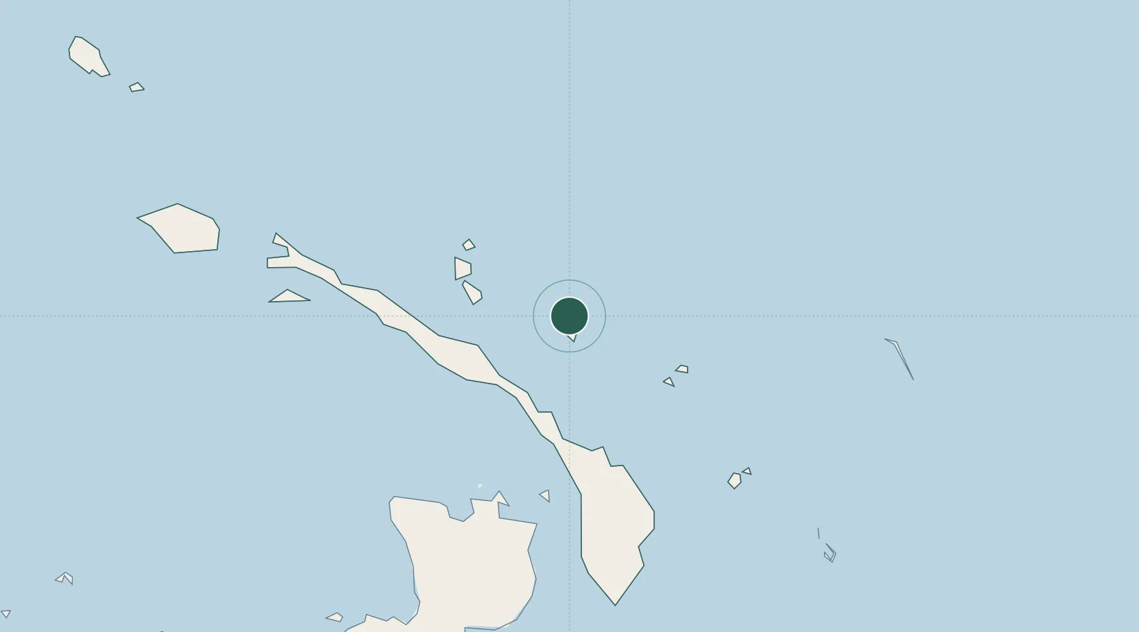
Londolovit
-3.0667°, 152.6167°
1,644
Population
2
Transport functions
Transport Functions
Port
Road
Hub Profile
Place type
Populated place
Region
New Ireland
Population
1,644
Time zone
Pacific/Port_Moresby
Elevation
43 m
Location
Nearby Logistics Neighbours
Cities
- 1Rabaul136 km
- 2Lakuramau153 km
- 3Lambom Island194 km
- 4Pondo Harbour200 km
- 5Ulamona263 km
Ports
- 1Rabaul135 km
- 2Kavieng Harbor209 km
- 3Bialla307 km
- 4Kimbe326 km
- 5Kieta484 km
Airports
- 1Londolovit Airport3 km
- 2Tokua Airport144 km
- 3Kavieng Airport208 km
- 4Buka Airport347 km
- 5Hoskins Airport362 km
Trade Zones
DatabookThe Record of Consolidated Knowledge
Papua New Guinea beyond logistics?