UN/LOCODE hub · Papua New Guinea
PGRAB
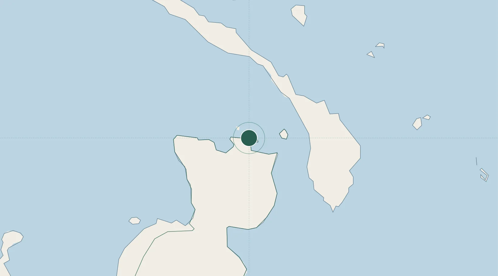
Rabaul
-4.2008°, 152.1672°
8,074
Population
2
Transport functions
1
Container terminals
Transport Functions
Port
Airport
Hub Profile
Place type
Populated place
Region
East New Britain Province
Population
8,074
Time zone
Pacific/Port_Moresby
Elevation
12 m
Logistics facilities
1
Container terminals
1
Location
Nearby Logistics Neighbours
Cities
- 1Pondo Harbour73 km
- 2Lambom Island100 km
- 3Ulamona135 km
- 4Londolovit136 km
- 5Lakuramau178 km
Ports
- 1Bialla179 km
- 2Kimbe209 km
- 3Kavieng Harbor235 km
- 4Kieta445 km
- 5Lorengau596 km
Airports
- 1Tokua Airport28 km
- 2Londolovit Airport139 km
- 3Kavieng Airport235 km
- 4Hoskins Airport240 km
- 5Gasmata Island Airport307 km
Trade Zones
DatabookThe Record of Consolidated Knowledge
Papua New Guinea beyond logistics?