Seaport · Papua New Guinea
Kavieng HarborPGKVG
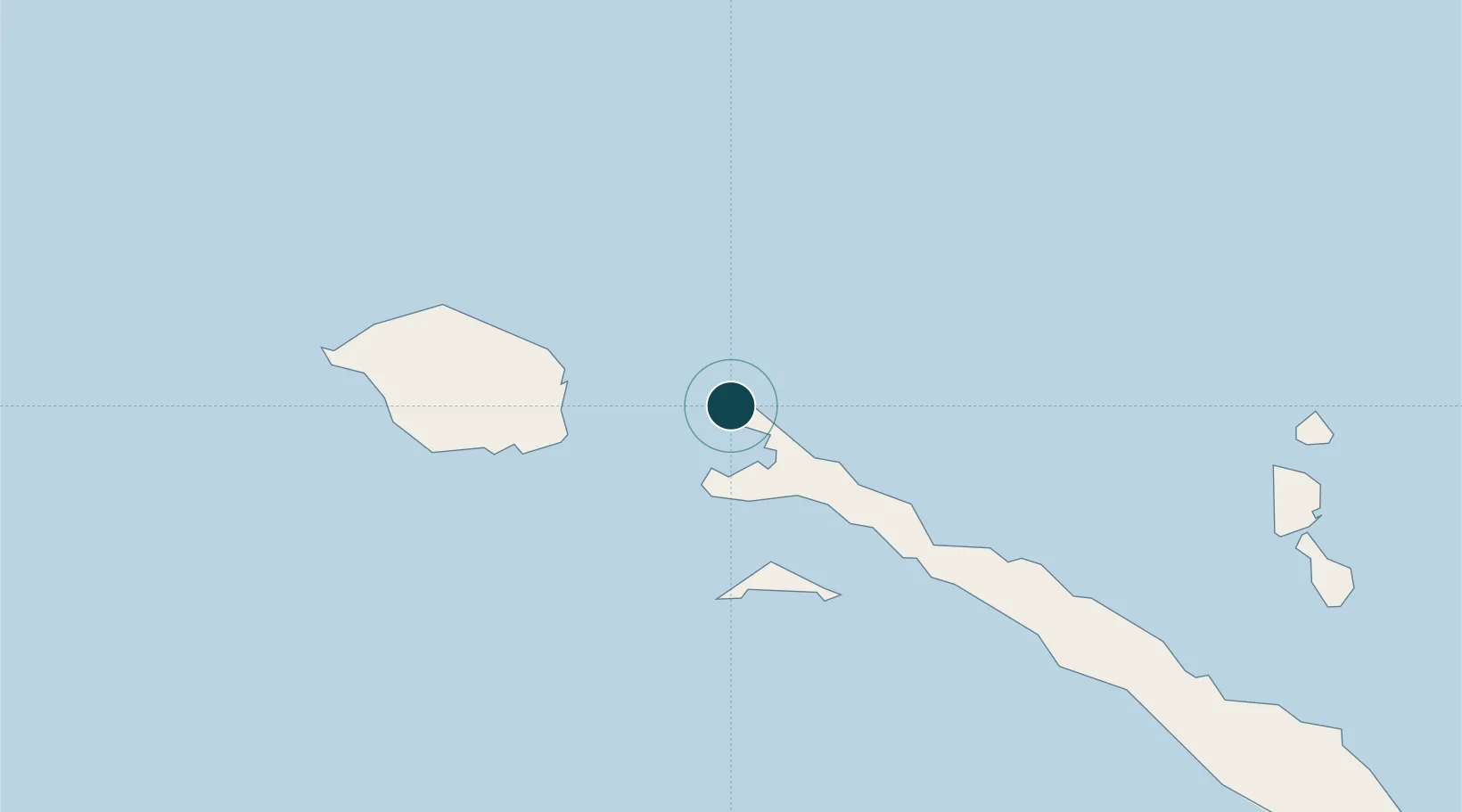
-2.5833°, 150.8000°
17.1 m
Channel depth
14.4
Port liner connectivity
Channel & Berth Profile
Pilotage, Tugs & Services
Pilotage availableYES
Shore powerYES
Potable waterYES
Diesel bunkersYES
MedicalYES
Garbage disposalYES
Facilities & Capabilities
Container—
Ro-Ro—
Liquid bulk—
Dry bulk—
Oil terminal—
Break bulk—
Dry dock—
Repairs—
BunkeringYES
Rail link—
Dangerous cargo—
ISPS security—
Harbour Specifications
Harbour size
Small
Harbour type
Coastal (Natural)
Shelter
Excellent
Water body
South Pacific Ocean
Tidal range
1 m
Liner Connectivity
14.4
PLSCI
Port Liner Shipping Connectivity Index for Kavieng Harbor, as published by UNCTAD for the latest available quarter. Higher values indicate stronger scheduled liner-shipping integration.
Shown relative to the highest per-port PLSCI in the dataset (1,657.9).
Location
Nearby Logistics Neighbours
Cities
- 1Lakuramau60 km
- 2Londolovit209 km
- 3Rabaul235 km
- 4Pondo Harbour238 km
- 5Ulamona273 km
Airports
- 1Kavieng Airport1 km
- 2Londolovit Airport210 km
- 3Tokua Airport263 km
- 4Hoskins Airport323 km
- 5Momote Airport380 km
Trade Zones
DatabookThe Record of Consolidated Knowledge
Papua New Guinea beyond logistics?