Transport Functions
Port
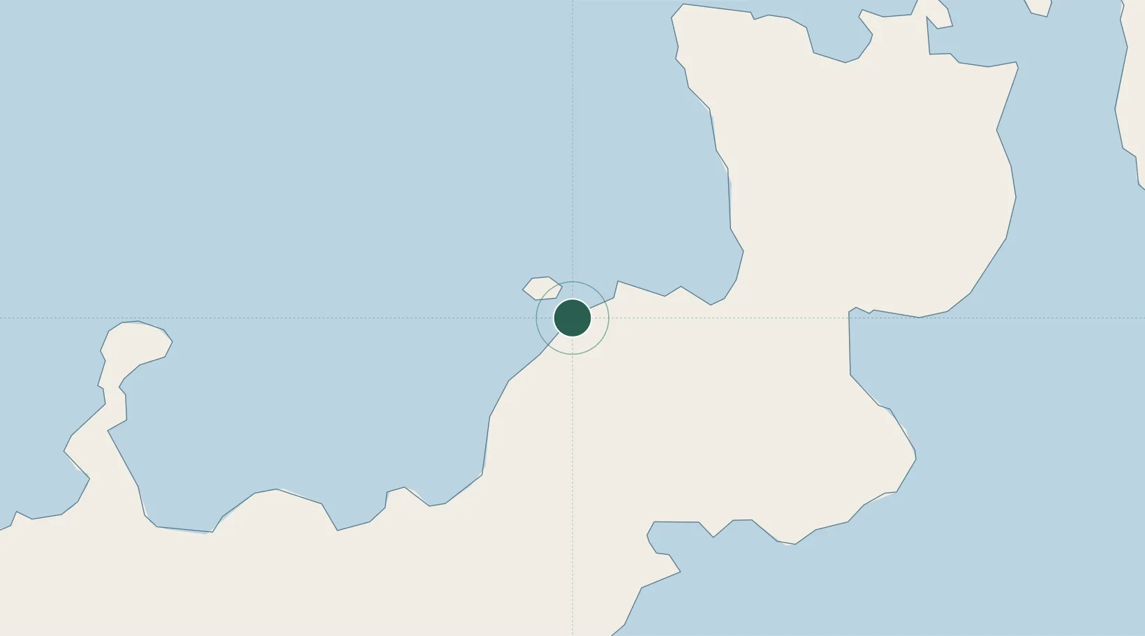
Hub Profile
Region
WBK
Location
Nearby Logistics Neighbours
Cities
- 1Pondo Harbour63 km
- 2Rabaul135 km
- 3Amio136 km
- 4Kimbe137 km
- 5Lambom Island177 km
Ports
- 1Bialla45 km
- 2Kimbe81 km
- 3Rabaul136 km
- 4Kavieng Harbor273 km
- 5Kieta504 km
Airports
- 1Hoskins Airport107 km
- 2Tokua Airport145 km
- 3Gasmata Island Airport174 km
- 4Londolovit Airport266 km
- 5Kavieng Airport274 km
Trade Zones
DatabookThe Record of Consolidated Knowledge
Papua New Guinea beyond logistics?