Medium airport · Papua New Guinea
Buka AirportAYBK
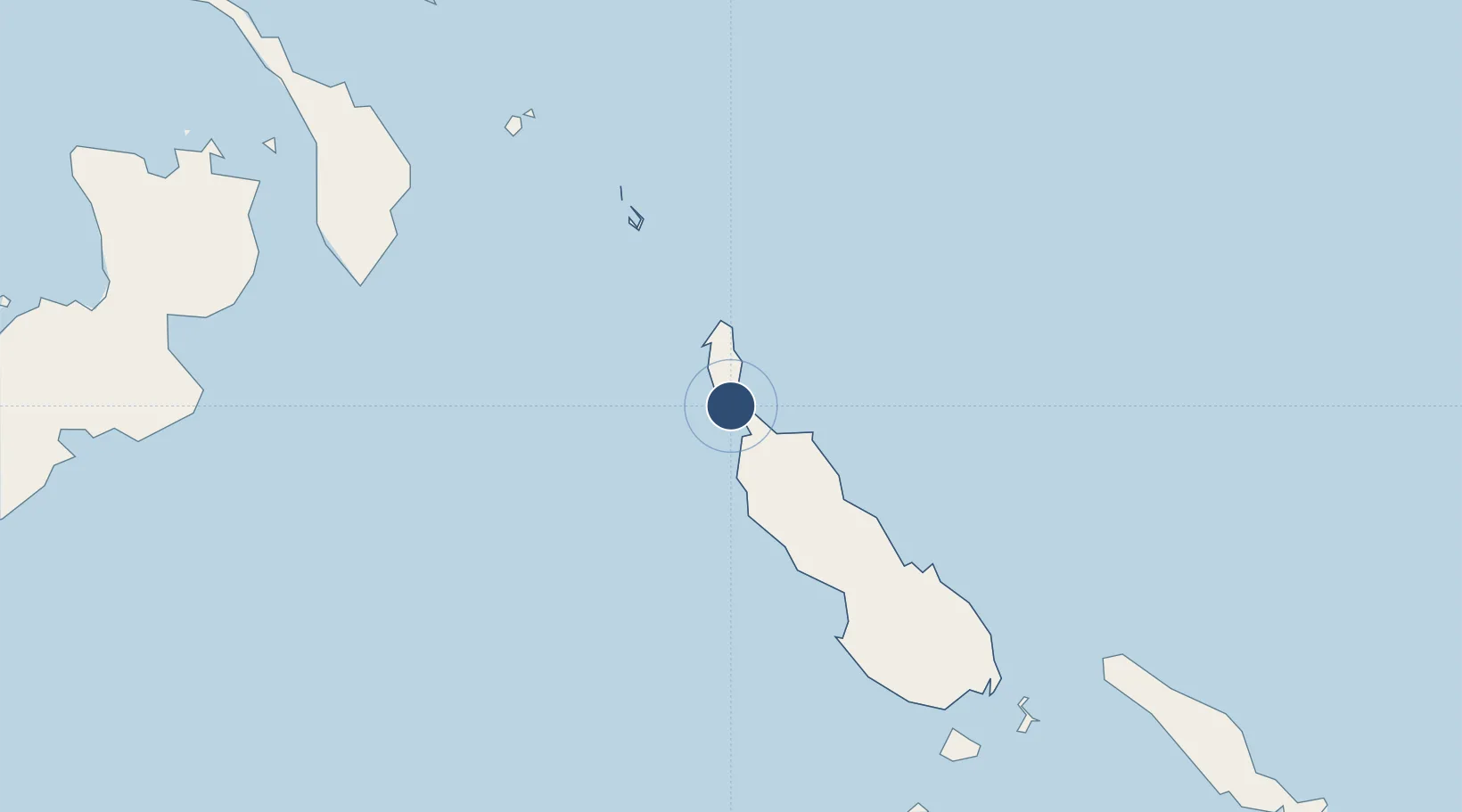
-5.4223°, 154.6727°
5,125 ft
Longest runway
1
Runways
11 ft
Elevation
Runway & Layout

Radio Frequencies
RDO
127.1 MHz
LAE RDO
Navaids
BUK NDB-DME Buka 0.27 MHz
Runways · 1
| Runway | Dimensions | Surface | True heading | Lit |
|---|---|---|---|---|
| 04/22 | 5,125 × 98ft | Asphalt | 048° | ✓ |
Airport Specifications
IATA code
BUA
ICAO code
AYBK
Airport class
Medium airport
Scheduled service
Yes
Runway surface
Asphalt
Served city
Buka Island
Location
Nearby Logistics Neighbours
Airports
- 1Aropa Airport153 km
- 2Ballalae Airport220 km
- 3Choiseul Bay Airport239 km
- 4Mono Airport243 km
- 5Tokua Airport281 km
Cities
- 1Anewa Bay130 km
- 2Lambom Island215 km
- 3Shortland Harbour227 km
- 4Choiseul Bay241 km
- 5Rabaul309 km
Ports
- 1Kieta138 km
- 2Rabaul308 km
- 3Gizo Harbor383 km
- 4Ringgi Cove402 km
- 5Bialla409 km
DatabookThe Record of Consolidated Knowledge
Papua New Guinea beyond logistics?