Medium airport · Papua New Guinea
Hoskins AirportAYHK
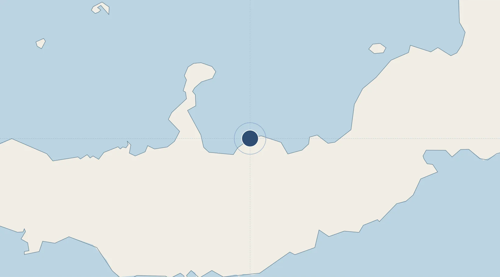
-5.4638°, 150.4073°
6,644 ft
Longest runway
1
Runways
66 ft
Elevation
Runway & Layout

Radio Frequencies
FSS
127.1 MHz
NADZAB CNTR
Navaids
HKN NDB-DME Hoskins 0.25 MHz
Runways · 1
| Runway | Dimensions | Surface | True heading | Lit |
|---|---|---|---|---|
| 12/30 | 6,644 × 98ft | Asphalt | 133° | ✓ |
Airport Specifications
IATA code
HKN
ICAO code
AYHK
Airport class
Medium airport
Scheduled service
Yes
Runway surface
Asphalt
Served city
Kimbe
Location
Nearby Logistics Neighbours
Airports
- 1Gasmata Island Airport90 km
- 2Tokua Airport252 km
- 3Kavieng Airport324 km
- 4Losuia Airport346 km
- 5Londolovit Airport365 km
Cities
- 1Kimbe30 km
- 2Amio82 km
- 3Ulamona107 km
- 4Pondo Harbour167 km
- 5Rabaul240 km
Ports
- 1Kimbe39 km
- 2Bialla66 km
- 3Rabaul242 km
- 4Kavieng Harbor323 km
- 5Lae402 km
Trade Zones
DatabookThe Record of Consolidated Knowledge
Papua New Guinea beyond logistics?