Medium airport · Papua New Guinea
Tokua AirportAYTK
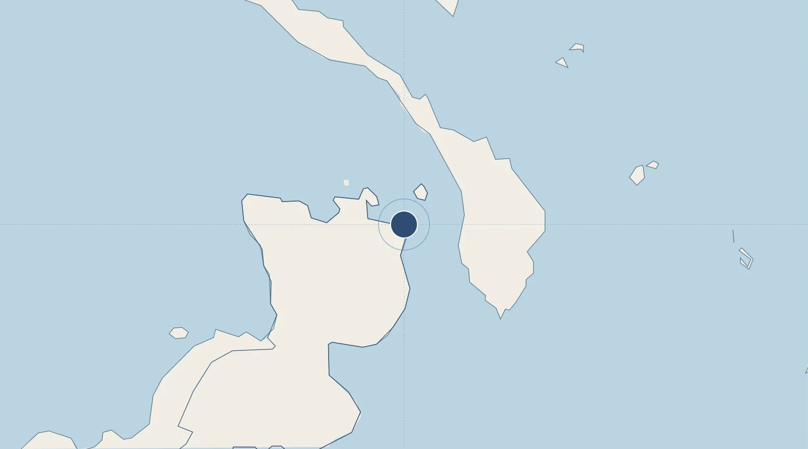
-4.3405°, 152.3800°
5,643 ft
Longest runway
1
Runways
49 ft
Elevation
Runway & Layout

Radio Frequencies
TWR
118.2 MHz
FSS
127.1 MHz
LAE RDO
MISC
120.9 MHz
MTAF
Navaids
TOK VOR-DME Tokua 113.60 MHz
TOK NDB Tokua 227 kHz
Runways · 1
| Runway | Dimensions | Surface | True heading | Lit |
|---|---|---|---|---|
| 10/28 | 5,643 × 98ft | Asphalt | 106° | ✓ |
Airport Specifications
IATA code
RAB
ICAO code
AYTK
Airport class
Medium airport
Scheduled service
Yes
Runway surface
Asphalt
Served city
Kokopo
Location
Nearby Logistics Neighbours
Airports
- 1Londolovit Airport147 km
- 2Hoskins Airport252 km
- 3Kavieng Airport262 km
- 4Buka Airport281 km
- 5Gasmata Island Airport312 km
Cities
- 1Rabaul28 km
- 2Lambom Island72 km
- 3Pondo Harbour88 km
- 4Londolovit144 km
- 5Ulamona145 km
Ports
- 1Rabaul27 km
- 2Bialla188 km
- 3Kimbe223 km
- 4Kavieng Harbor263 km
- 5Kieta416 km
Trade Zones
DatabookThe Record of Consolidated Knowledge
Papua New Guinea beyond logistics?