Transport Functions
Port
Hub Profile
Region
EBR
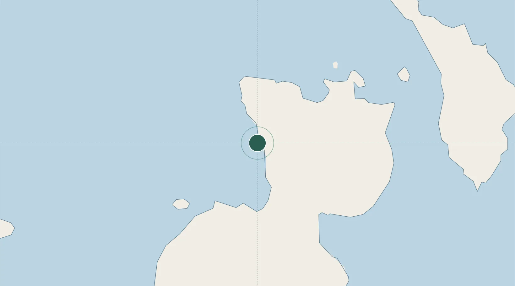
Location
Nearby Logistics Neighbours
Cities
- 1Ulamona63 km
- 2Rabaul73 km
- 3Lambom Island137 km
- 4Lakuramau192 km
- 5Kimbe196 km
Ports
- 1Rabaul75 km
- 2Bialla108 km
- 3Kimbe136 km
- 4Kavieng Harbor238 km
- 5Kieta481 km
Airports
- 1Tokua Airport88 km
- 2Hoskins Airport167 km
- 3Londolovit Airport203 km
- 4Gasmata Island Airport237 km
- 5Kavieng Airport239 km
Trade Zones
DatabookThe Record of Consolidated Knowledge
Papua New Guinea beyond logistics?