Medium airport · Papua New Guinea
Kavieng AirportAYKV
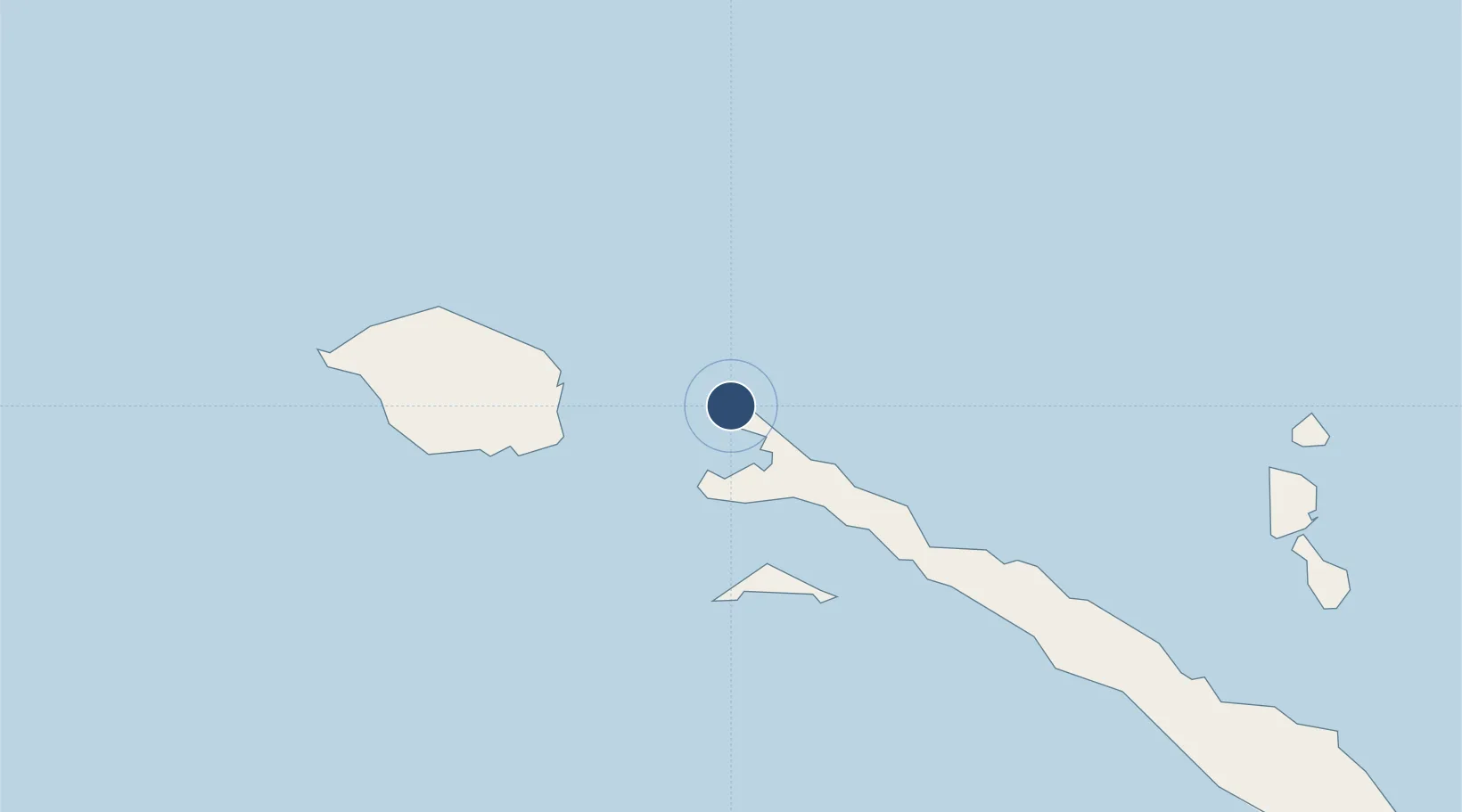
-2.5794°, 150.8080°
5,592 ft
Longest runway
1
Runways
7 ft
Elevation
Runway & Layout

Radio Frequencies
FSS
127.1 MHz
LAE
Navaids
KAV VOR-DME Kavieng 116.40 MHz
KAV NDB Kavieng 368 kHz
Runways · 1
| Runway | Dimensions | Surface | True heading | Lit |
|---|---|---|---|---|
| 12/30 | 5,592 × 98ft | Asphalt | 125° | ✓ |
Airport Specifications
IATA code
KVG
ICAO code
AYKV
Airport class
Medium airport
Scheduled service
Yes
Runway surface
Asphalt
Served city
Kavieng
Location
Nearby Logistics Neighbours
Airports
- 1Londolovit Airport209 km
- 2Tokua Airport262 km
- 3Hoskins Airport324 km
- 4Momote Airport380 km
- 5Gasmata Island Airport414 km
Cities
- 1Lakuramau60 km
- 2Londolovit208 km
- 3Rabaul235 km
- 4Pondo Harbour239 km
- 5Ulamona274 km
Ports
- 1Kavieng Harbor1 km
- 2Rabaul236 km
- 3Kimbe286 km
- 4Bialla303 km
- 5Lorengau398 km
Trade Zones
DatabookThe Record of Consolidated Knowledge
Papua New Guinea beyond logistics?