Medium airport · Papua New Guinea
Girua AirportAYGR
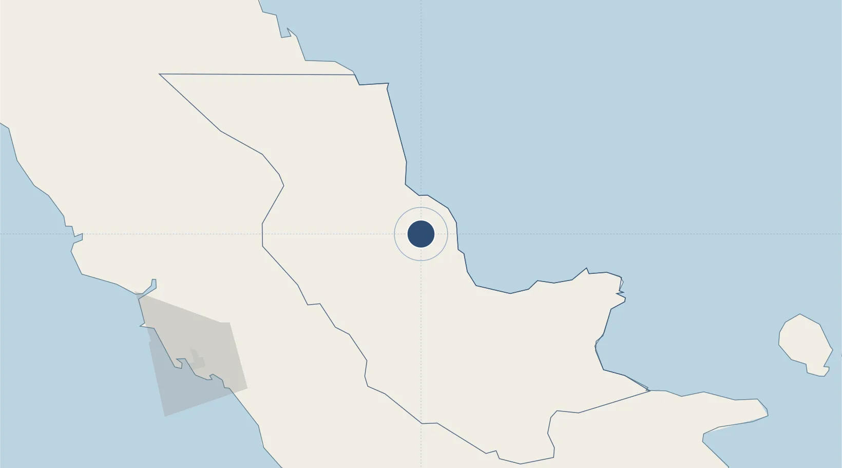
-8.8045°, 148.3090°
5,485 ft
Longest runway
1
Runways
311 ft
Elevation
Runway & Layout

Navaids
GUA NDB-DME Girua 0.22 MHz
Runways · 1
| Runway | Dimensions | Surface | True heading | Lit |
|---|---|---|---|---|
| 03/21 | 5,485 × 98ft | Asphalt | 038° | — |
Airport Specifications
IATA code
PNP
ICAO code
AYGR
Airport class
Medium airport
Scheduled service
Yes
Runway surface
Asphalt
Served city
Popondetta
Location
Nearby Logistics Neighbours
Airports
- 1Tufi Airport115 km
- 2Port Moresby Jacksons International Airport139 km
- 3Tapini Airport153 km
- 4Gurney Airport278 km
- 5Kerema Airport294 km
Cities
- 1Port Moresby147 km
- 2Napa Napa149 km
- 3Motukea Island150 km
- 4Caution Bay162 km
- 5Kairuku195 km
Ports
- 1Oro Bay21 km
- 2Port Moresby149 km
- 3Lae272 km
- 4Alotoa289 km
- 5Samarai328 km
Trade Zones
DatabookThe Record of Consolidated Knowledge
Papua New Guinea beyond logistics?