Transport Functions
Port
Hub Profile
Place type
Populated place
Region
National Capital
Time zone
Pacific/Port_Moresby
Elevation
35 m
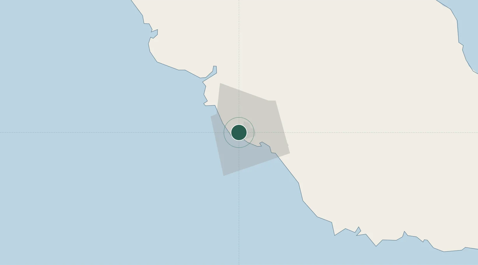
Location
Nearby Logistics Neighbours
Cities
- 1Port Moresby2 km
- 2Motukea Island3 km
- 3Caution Bay24 km
- 4Kairuku94 km
- 5Vailala248 km
Ports
- 1Port Moresby3 km
- 2Oro Bay163 km
- 3Lae302 km
- 4Kumul318 km
- 5Alotoa378 km
Airports
- 1Port Moresby Jacksons International Airport11 km
- 2Tapini Airport122 km
- 3Girua Airport149 km
- 4Kerema Airport222 km
- 5Tufi Airport245 km
Trade Zones
DatabookThe Record of Consolidated Knowledge
Papua New Guinea beyond logistics?