Transport Functions
Port
Hub Profile
Region
CPM
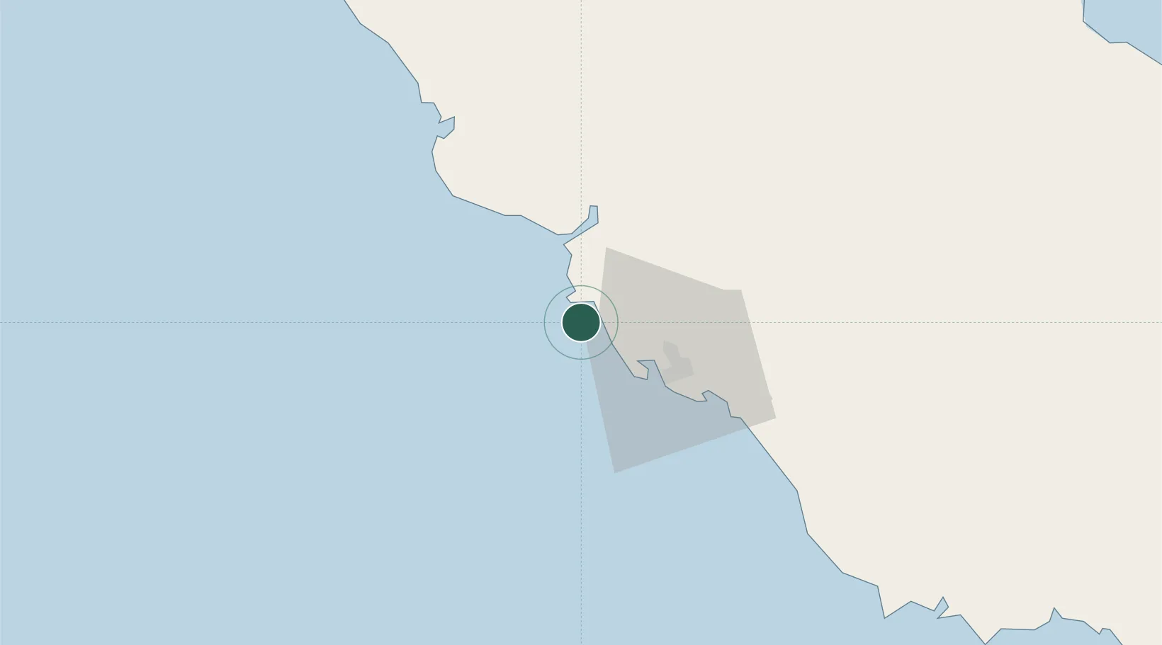
Location
Nearby Logistics Neighbours
Cities
- 1Motukea Island21 km
- 2Napa Napa24 km
- 3Port Moresby25 km
- 4Kairuku71 km
- 5Vailala224 km
Ports
- 1Port Moresby27 km
- 2Oro Bay177 km
- 3Lae289 km
- 4Kumul294 km
- 5Alotoa401 km
Airports
- 1Port Moresby Jacksons International Airport34 km
- 2Tapini Airport109 km
- 3Girua Airport162 km
- 4Kerema Airport199 km
- 5Tufi Airport264 km
Trade Zones
DatabookThe Record of Consolidated Knowledge
Papua New Guinea beyond logistics?