Large airport · Papua New Guinea

Port Moresby Jacksons International AirportAYPY
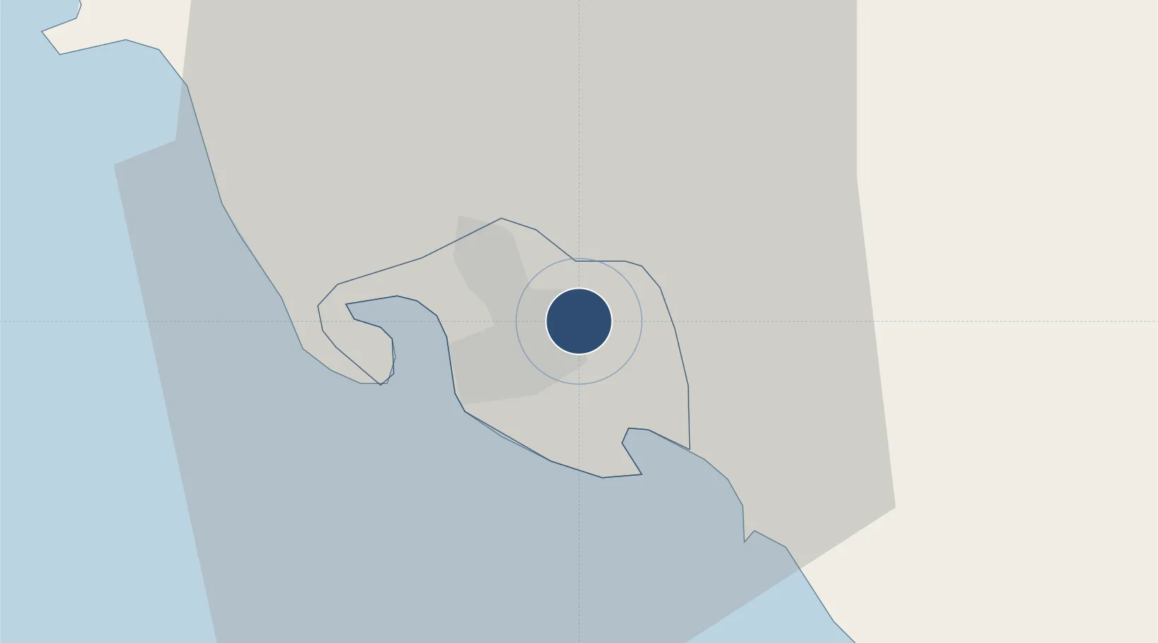
-9.4434°, 147.2200°
9,022 ft
Longest runway
2
Runways
146 ft
Elevation

Runway & Layout

Port Moresby Jacksons International Airport runway & taxiway layout
Runway & taxiway layout — OpenStreetMap (ODbL) / OurAirports

Radio Frequencies

ATIS
117 MHz
TWR
118.1 MHz
JACKSONS TWR
GND
121.7 MHz
JACKSONS GND
APP
125.8 MHz
JACKSONS APP
OurAirports

Navaids

JSN NDB Jackson 380 kHz
PRE NDB Parer 395 kHz
PY VOR-DME Port Moresby 117.00 MHz
PY NDB Port Moresby 368 kHz
OurAirports

Runways · 2

RunwayDimensions SurfaceTrue headingLit
14L/32R 9,022 × 148ft Asphalt 148°
14R/32L 4,625 × 148ft Asphalt 142°
OurAirports

Airport Specifications

IATA code
POM
OurAirports
ICAO code
AYPY
OurAirports
Airport class
Large airport
OurAirports
Scheduled service
Yes
OurAirports
Runway surface
Asphalt
OurAirports
Served city
Port Moresby
OurAirports

Location

Location of AYPY
Natural Earth 10m (public domain) · National Capital District · AYPY · -9.44, 147.22GoogleOSMYandex

Nearby Logistics Neighbours

Airports
  1. 1Tapini Airport124 km
  2. 2Girua Airport139 km
  3. 3Kerema Airport229 km
  4. 4Tufi Airport234 km
  5. 5Nadzab Tomodachi International Airport324 km
Nearest neighbours — logibook spatial index (haversine) over the source coordinates
Cities
  1. 1Port Moresby10 km
  2. 2Napa Napa11 km
  3. 3Motukea Island13 km
  4. 4Caution Bay34 km
  5. 5Kairuku101 km
Nearest neighbours — logibook spatial index (haversine) over the source coordinates
Ports
  1. 1Port Moresby10 km
  2. 2Oro Bay152 km
  3. 3Lae302 km
  4. 4Kumul328 km
  5. 5Alotoa367 km
Nearest neighbours — logibook spatial index (haversine) over the source coordinates
Trade Zones
  1. 1Paga Hill Estate Special Economic Zone9 km
  2. 2Ihu Special Economic Zone265 km
  3. 3Nadzab (Momase) Special Economic Zone320 km
  4. 4Ledger Atlas Special Economic Zone324 km
  5. 5Morobe Agricultural Special Economic Zone347 km
Nearest neighbours — logibook spatial index (haversine) over the source coordinates
DatabookThe Record of Consolidated Knowledge
Papua New Guinea beyond logistics?
Browse databook

All Sources

AirportsOurAirports
Public domain
Portsthe NGA World Port Index
Public domain (US gov)
LocationsUN/LOCODE
UN/LOCODE — free
Trade Zonesthe World Bank SEZ database
CC BY 4.0
Trade ZonesOpen Zone Map
CC BY
InfrastructureOpenStreetMap
ODbL 1.0
← Papua New Guinea airports