Seaport · Papua New Guinea
AlotoaPGGUR
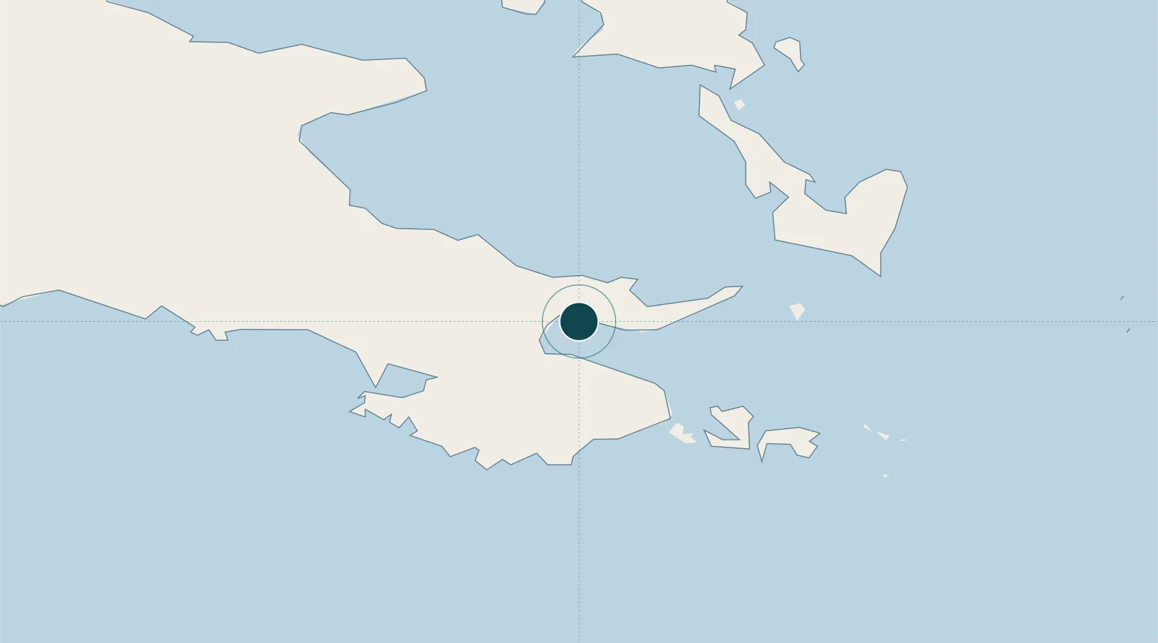
-10.3167°, 150.4500°
6.4 m
Channel depth
1
Container terminals
9.8
Port liner connectivity
Channel & Berth Profile
Pilotage, Tugs & Services
Pilotage compulsoryNO
Pilotage availableYES
Pilotage advisableYES
Local assistanceYES
Tug assistanceNO
Salvage tugsNO
Potable waterYES
Diesel bunkersNO
MedicalYES
Facilities & Capabilities
Container—
Ro-Ro—
Liquid bulk—
Dry bulk—
Oil terminal—
Break bulk—
Dry dock—
Repairs—
BunkeringYES
Rail link—
Dangerous cargo—
ISPS security—
Harbour Specifications
Harbour size
Very Small
Harbour type
Coastal (Natural)
Shelter
Fair
Water body
Solomon Sea; South Pacific Ocean
Tidal range
1 m
Overhead limit
No
Pilotage
No
Liner Connectivity
9.8
PLSCI
Port Liner Shipping Connectivity Index for Alotoa, as published by UNCTAD for the latest available quarter. Higher values indicate stronger scheduled liner-shipping integration.
Shown relative to the highest per-port PLSCI in the dataset (1,657.9).
Location
Container Terminals · 1
PORT OF ALOTAU
PALO PNG PORTS CORPORATION LIMITED
Nearby Logistics Neighbours
Ports
- 1Samarai41 km
- 2Oro Bay268 km
- 3Port Moresby375 km
- 4Lae550 km
- 5Bialla561 km
Cities
- 1Samarai41 km
- 2Conflict Group156 km
- 3Deboyne Lagoon219 km
- 4Kaibola223 km
- 5Gawa Island225 km
Airports
- 1Gurney Airport13 km
- 2Tufi Airport185 km
- 3Losuia Airport213 km
- 4Misima Island Airport264 km
- 5Girua Airport289 km
Trade Zones
DatabookThe Record of Consolidated Knowledge
Papua New Guinea beyond logistics?