Channel & Berth Profile
Pilotage, Tugs & Services
Pilotage compulsoryNO
Pilotage availableNO
Pilotage advisableNO
Local assistanceNO
Tug assistanceNO
Salvage tugsNO
Potable waterYES
MedicalYES
Garbage disposalYES
Facilities & Capabilities
Container—
Ro-Ro—
Liquid bulk—
Dry bulk—
Oil terminal—
Break bulk—
Dry dock—
RepairsNO
BunkeringYES
Rail link—
Dangerous cargo—
ISPS security—
Harbour Specifications
Harbour size
Very Small
Harbour type
Coastal (Natural)
Shelter
Fair
Water body
Coral Sea; South Pacific Ocean
Tidal range
1 m
Pilotage
No
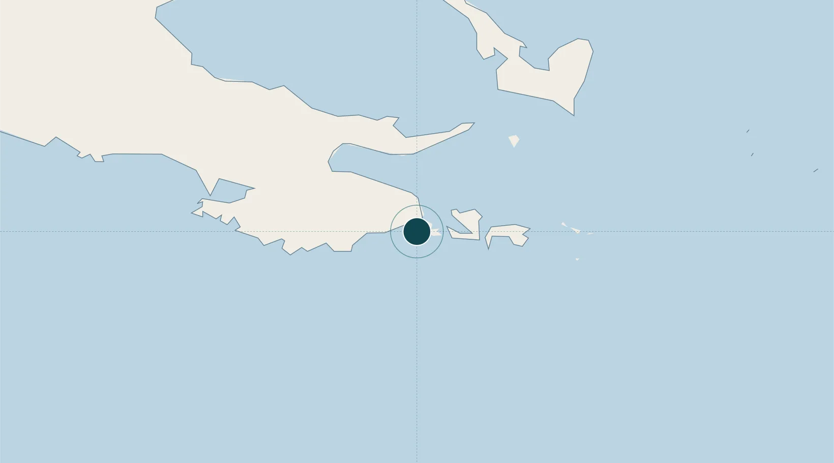
Location
Nearby Logistics Neighbours
Ports
- 1Alotoa41 km
- 2Oro Bay307 km
- 3Port Moresby407 km
- 4Lae591 km
- 5Bialla592 km
Cities
- 1Alotau41 km
- 2Conflict Group125 km
- 3Deboyne Lagoon190 km
- 4Alcester Island228 km
- 5Gawa Island233 km
Airports
- 1Gurney Airport50 km
- 2Tufi Airport226 km
- 3Misima Island Airport237 km
- 4Losuia Airport239 km
- 5Girua Airport328 km
Trade Zones
DatabookThe Record of Consolidated Knowledge
Papua New Guinea beyond logistics?