UN/LOCODE hub · Papua New Guinea
PGPOM
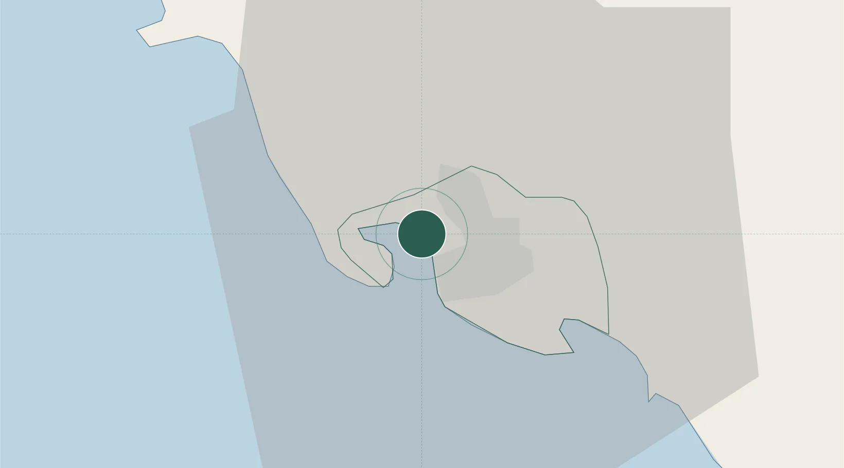
Port Moresby
-9.4375°, 147.1319°
283,733
Population
2
Transport functions
1
Container terminals
Transport Functions
Port
Airport
Hub Profile
Place type
National capital
Region
National Capital
Population
283,733
Time zone
Pacific/Port_Moresby
Elevation
25 m
Logistics facilities
6
Container terminals
1
Location
Nearby Logistics Neighbours
Cities
- 1Napa Napa2 km
- 2Motukea Island4 km
- 3Caution Bay25 km
- 4Kairuku94 km
- 5Vailala248 km
Airports
- 1Port Moresby Jacksons International Airport10 km
- 2Tapini Airport121 km
- 3Girua Airport147 km
- 4Kerema Airport222 km
- 5Tufi Airport244 km
Trade Zones
DatabookThe Record of Consolidated Knowledge
Papua New Guinea beyond logistics?