Transport Functions
Port
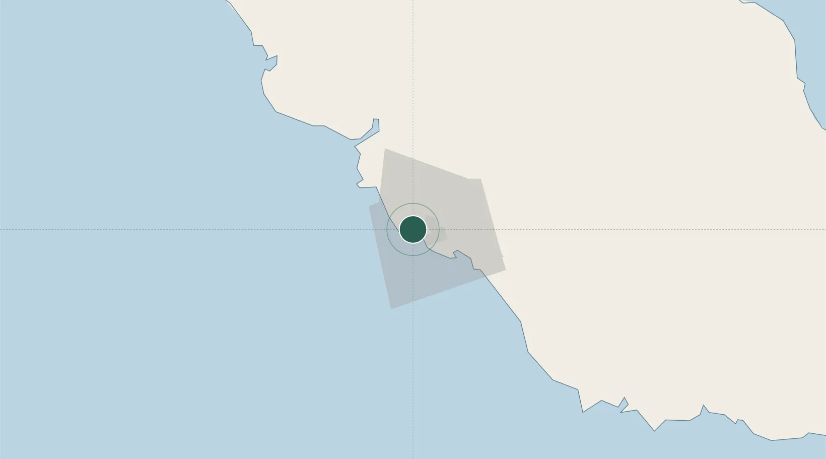
Hub Profile
Region
NCD
Location
Nearby Logistics Neighbours
Cities
- 1Napa Napa3 km
- 2Port Moresby4 km
- 3Caution Bay21 km
- 4Kairuku91 km
- 5Vailala245 km
Ports
- 1Port Moresby5 km
- 2Oro Bay164 km
- 3Lae300 km
- 4Kumul315 km
- 5Alotoa380 km
Airports
- 1Port Moresby Jacksons International Airport13 km
- 2Tapini Airport120 km
- 3Girua Airport150 km
- 4Kerema Airport219 km
- 5Tufi Airport247 km
Trade Zones
DatabookThe Record of Consolidated Knowledge
Papua New Guinea beyond logistics?